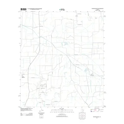
2013 Map of Whites Bayou
USGS Topo · Published 2013About this map
Abshier Settlement and the surrounding Liberty County coastal prairie landscape are defined by a sophisticated network of irrigation canals and petroleum infrastructure. The Hankamer Oil Field occupies the southern portion of the region, marked by a high density of industrial labels such as Tank Battery Rd, Treater Rd, and Gulf Oil Rd. These names offer a precise record of the area's mid-century economic drivers and land use patterns.
Find a feature on this map
43 named features on this map. Tap any name to fly to it.
Don’t see what you’re looking for? This feature index may not catch every label — zoom into the map to look around manually.
Map Details
Editions of this 2013 Whites Bayou Map
This is the sole edition of this map. No revisions or reprints were ever made.
Other maps of this area

1942 · Anahuac
USGS Topo · 1:24,000

1943 · Whites Bayou
USGS Topo · 1:24,000

1943 · Liberty
USGS Topo · 1:125,000

1943 · Stowell
USGS Topo · 1:24,000

1945 · Nolte
USGS Topo · 1:31,680

1950 · Houston
USGS Topo · 1:250,000

1954 · Beaumont
USGS Topo · 1:250,000

1955 · Daisetta
USGS Topo · 1:62,500

1955 · Sour Lake
USGS Topo · 1:62,500

1956 · Houston
USGS Topo · 1:250,000