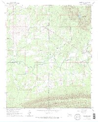
1966 Map of Whitesboro
USGS Topo · Published 1967About this map
The Kiamichi River flows through this 1960s survey, marking a distinct boundary between the northern valley settlements and the steep, forested slopes of Tombstone Mountain and Kiamichi Mountain to the south. The settlement of Whitesboro is the primary community hub, while smaller centers of social and spiritual life appear at Prairie Grove Ch, Wadesville Ch, and Christs Ch. Much of the northeast is preserved within the Ouachita National Forest, containing Bohannon Lake and several named peaks like Chancellor Mountain.
Find a feature on this map
29 named features on this map. Tap any name to fly to it.
Don’t see what you’re looking for? This feature index may not catch every label — zoom into the map to look around manually.
Map Details
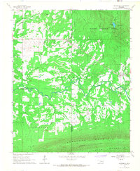
Editions of this 1966 Whitesboro Map
2 editions found
Other maps of this area

1900 · Winding Stair
USGS Topo · 1:125,000

1901 · Tuskahoma
USGS Topo · 1:125,000

1908 · Tuskahoma
USGS Topo · 1:125,000

1909 · Tuskahoma
USGS Topo · 1:125,000

1909 · Winding Stair
USGS Topo · 1:125,000

1940 · Red Oak
USGS Topo · 1:62,500

1943 · Red Oak
USGS Topo · 1:62,500

1950 · Mcalester
USGS Topo · 1:250,000

1962 · McAlester
USGS Topo · 1:250,000

1965 · McAlester
USGS Topo · 1:250,000