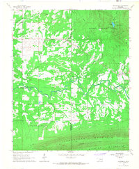
1966 Map of Whitesboro
USGS Topo · Published 1967About this map
Whitesboro serves as the primary settlement in this 1966 Oklahoma survey, situated where the Kiamichi River valley meets the rising slopes of the Ouachita National Forest. The landscape is a mix of river bottomlands and high ridges, including Tombstone Mountain and Chancellor Mountain. Local life is anchored by community landmarks such as Prairie Grove Ch, Wadesville Ch, and Christa Ch, alongside the Bohannon Cem.
Find a feature on this map
30 named features on this map. Tap any name to fly to it.
Don’t see what you’re looking for? This feature index may not catch every label — zoom into the map to look around manually.
Map Details
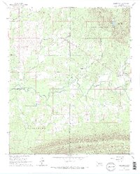
Editions of this 1966 Whitesboro Map
2 editions found
Other maps of this area

1900 · Winding Stair
USGS Topo · 1:125,000

1901 · Tuskahoma
USGS Topo · 1:125,000

1908 · Tuskahoma
USGS Topo · 1:125,000

1909 · Tuskahoma
USGS Topo · 1:125,000

1909 · Winding Stair
USGS Topo · 1:125,000

1940 · Red Oak
USGS Topo · 1:62,500

1943 · Red Oak
USGS Topo · 1:62,500

1950 · Mcalester
USGS Topo · 1:250,000

1962 · McAlester
USGS Topo · 1:250,000

1965 · McAlester
USGS Topo · 1:250,000