
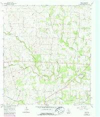
1965 Map of Wied
USGS Topo · Published 1967About this map
Wied and the surrounding Lavaca County countryside are defined by a complex network of waterways that shaped the early cattle and farming life of this Texas region. Local watercourses like Smothers Creek, Ponton Creek, and Mustang Creek carve through the landscape, dictating the placement of early homesteads and social centers. The presence of the Charlottenburg Cem and Mount Olive church and community centers points to the deep-rooted settlement patterns of the mid-20th century.
Find a feature on this map
16 named features on this map. Tap any name to fly to it.
Don’t see what you’re looking for? This feature index may not catch every label — zoom into the map to look around manually.
Map Details
Editions of this 1965 Wied Map
2 editions found
Other maps of this area

1901 · Flatonia
USGS Topo · 1:125,000

1919 · Schulenburg
USGS Topo · 1:62,500

1953 · Seguin
USGS Topo · 1:250,000

1958 · Seguin
USGS Topo · 1:250,000

1962 · Hallettsville
USGS Topo · 1:24,000

1963 · Yoakum
USGS Topo · 1:24,000

1963 · Sweet Home
USGS Topo · 1:24,000

1964 · Ezzell
USGS Topo · 1:24,000

1965 · Komensky
USGS Topo · 1:24,000
1965 · Moravia
USGS Topo · 1:24,000