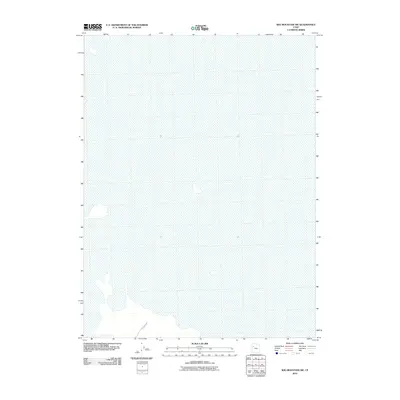
2010 Map of Wig Mountain SW
USGS Topo · Published 2010About this map
The salt flats of Tooele County dominate this landscape at the edge of the Dugway Proving Ground. This 2010 survey illustrates the expansive, desolate character of the Utah desert where few man-made structures exist. One notable exception is Falconer Rd, which cuts across the southwestern corner of the quadrangle. The map is defined by a lack of traditional topography, represented by the wide, flat basins and the subtle shifts in the desert floor captured by the U.S. Geological Survey during this period. It serves as a record of the remote terrain used for military testing and government activities in the Great Salt Lake Desert.
Find a feature on this map
1 named feature on this map. Tap any name to fly to it.
Don’t see what you’re looking for? This feature index may not catch every label — zoom into the map to look around manually.
Map Details
Editions of this 2010 Wig Mountain SW Map
This is the sole edition of this map. No revisions or reprints were ever made.
Other maps of this area

1953 · Tooele
USGS Topo · 1:250,000

1954 · Wig Mtn SW
USGS Topo · 1:24,000

1954 · Dugway Proving Ground NE
USGS Topo · 1:24,000

1954 · Wildcat Mtn
USGS Topo · 1:24,000

1954 · Granite Peak
USGS Topo · 1:24,000

1954 · Wildcat Mtn SE
USGS Topo · 1:24,000

1954 · Dugway Proving Ground NW
USGS Topo · 1:24,000

1954 · Wig Mtn NW
USGS Topo · 1:24,000

1955 · Wig Mtn
USGS Topo · 1:24,000

1955 · Wig Mtn NE
USGS Topo · 1:24,000