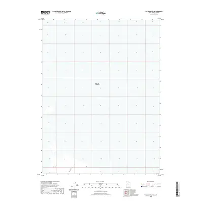
2020 Map of Wig Mountain SW
USGS Topo · Published 2020About this map
The Great Salt Lake Desert dominates this landscape, showing the stark and minimal relief of this part of Tooele County. This modern survey reflects the vast, undeveloped character of the salt flats, where the topography is nearly level across several sections. A single arterial route, Falconer Rd, enters the frame from the south, representing one of the few human imprints in this otherwise open environment. This map is particularly useful for understanding the isolation and geographical layout of the desert floor before it reaches the more complex terrain of the surrounding mountains.
Find a feature on this map
2 named features on this map. Tap any name to fly to it.
Don’t see what you’re looking for? This feature index may not catch every label — zoom into the map to look around manually.
Map Details
Editions of this 2020 Wig Mountain SW Map
This is the sole edition of this map. No revisions or reprints were ever made.
Other maps of this area

1953 · Tooele
USGS Topo · 1:250,000

1954 · Wig Mtn SW
USGS Topo · 1:24,000

1954 · Dugway Proving Ground NE
USGS Topo · 1:24,000

1954 · Wildcat Mtn
USGS Topo · 1:24,000

1954 · Granite Peak
USGS Topo · 1:24,000

1954 · Wildcat Mtn SE
USGS Topo · 1:24,000

1954 · Dugway Proving Ground NW
USGS Topo · 1:24,000

1954 · Wig Mtn NW
USGS Topo · 1:24,000

1955 · Wig Mtn
USGS Topo · 1:24,000

1955 · Wig Mtn NE
USGS Topo · 1:24,000