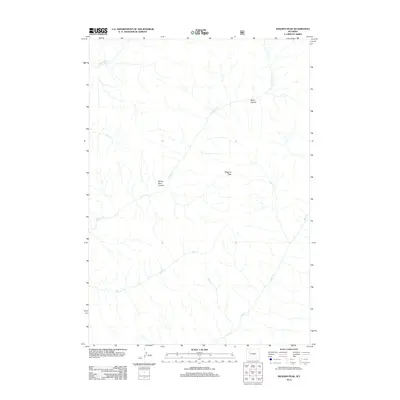
2012 Map of Wiggins Peak
USGS Topo · Published 2012About this map
Wiggins Peak towers over a complex network of high-country drainages in this 2012 topographic study of Fremont County. The landscape is defined by the deep incisions of Black Canyon and Brown Rock Canyon, which channel the flow of seasonal and perennial waters toward the Wiggins Fork. This map reveals a terrain where water is the primary architect, from the headwaters of Caldwell Cr to the southern reaches of Bug Cr and Bear Cr. The absence of named roads or structures highlights the isolation of this corner of Wyoming, dominated instead by the natural features that have challenged and guided travelers through these canyons for generations. It remains a critical record of the undisturbed hydrology and physical geography within the region.
Find a feature on this map
9 named features on this map. Tap any name to fly to it.
Don’t see what you’re looking for? This feature index may not catch every label — zoom into the map to look around manually.
Map Details
Editions of this 2012 Wiggins Peak Map
This is the sole edition of this map. No revisions or reprints were ever made.
Other maps of this area

1904 · Kirwin
USGS Topo · 1:125,000

1905 · Younts Peak
USGS Topo · 1:125,000

1906 · Kirwin
USGS Topo · 1:125,000

1907 · Younts Peak
USGS Topo · 1:125,000

1955 · Thermopolis
USGS Topo · 1:250,000

1956 · Indian Point
USGS Topo · 1:24,000

1956 · Snow Lake
USGS Topo · 1:24,000

1956 · Emerald Lake
USGS Topo · 1:24,000

1958 · Thermopolis
USGS Topo · 1:250,000

1962 · Thermopolis
USGS Topo · 1:250,000