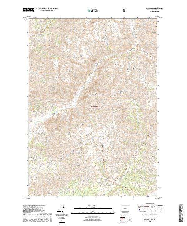
2021 Map of Wiggins Peak
USGS Topo · Published 2021About this map
The high-altitude drainage of the Wiggins Fork defines this portion of the Absaroka Range within the Shoshone National Forest. This landscape is characterized by its dramatic vertical relief, where several major peaks including Wiggins Peak, Mt Kent, and Dollar Mtn rise above deep carvings like Brown Rock Canyon and Black Canyon.
Find a feature on this map
22 named features on this map. Tap any name to fly to it.
Don’t see what you’re looking for? This feature index may not catch every label — zoom into the map to look around manually.
Map Details
Editions of this 2021 Wiggins Peak Map
This is the sole edition of this map. No revisions or reprints were ever made.
Other maps of this area

1904 · Kirwin
USGS Topo · 1:125,000

1905 · Younts Peak
USGS Topo · 1:125,000

1906 · Kirwin
USGS Topo · 1:125,000

1907 · Younts Peak
USGS Topo · 1:125,000

1955 · Thermopolis
USGS Topo · 1:250,000

1956 · Indian Point
USGS Topo · 1:24,000

1956 · Snow Lake
USGS Topo · 1:24,000

1956 · Emerald Lake
USGS Topo · 1:24,000

1958 · Thermopolis
USGS Topo · 1:250,000

1962 · Thermopolis
USGS Topo · 1:250,000