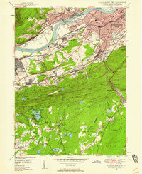
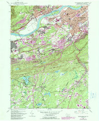
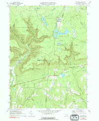
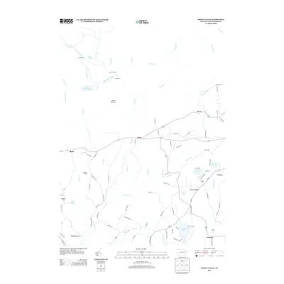
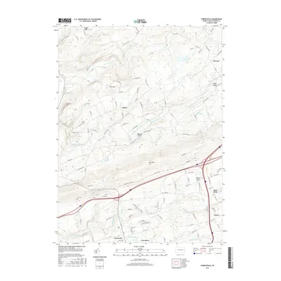
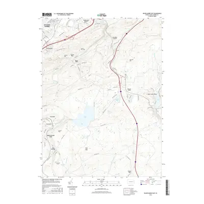
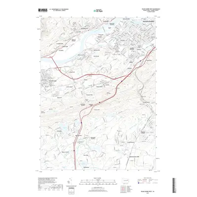
1947 Map of Wilkes-Barre West
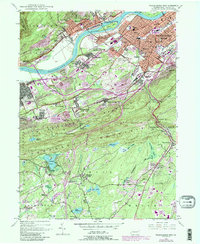
USGS Topo · Published 1958About this map
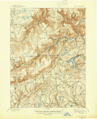
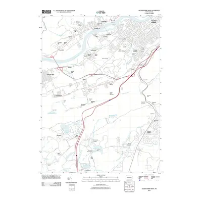
The anthracite coal industry's influence is evident across this 1947 landscape, where industrial infrastructure and dense residential settlements crowd the valley of the Susquehanna River. Extensive clusters of Strip Mine and Mine Dump labels trace the extraction economy from Plymouth and Larksville down through Nanticoke. The transportation network is remarkably complex, featuring the Central RR of New Jersey, Pennsylvania RR, and the Wilkes-Barre Connecting RR serving the colliery towns.
Find a feature on this map
90 named features on this map. Tap any name to fly to it.
Don’t see what you’re looking for? This feature index may not catch every label — zoom into the map to look around manually.
Map Details
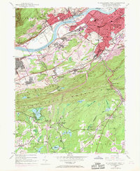
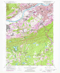
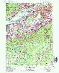
Editions of this 1947 Wilkes-Barre West Map
6 editions found
Historical Maps of Wilkes-Barre Through Time
50 maps found
1893 Harvey Lake
Luzerne County, PA
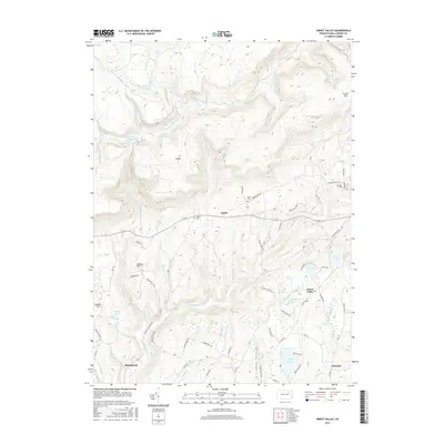
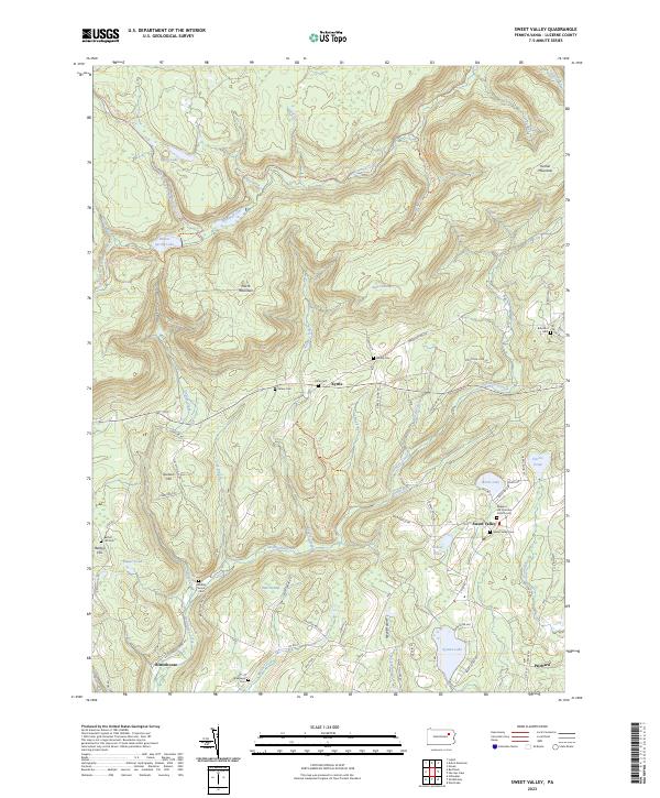
1946 Sweet Valley
Luzerne County, PA

1946 Sybertsville
Luzerne County, PA
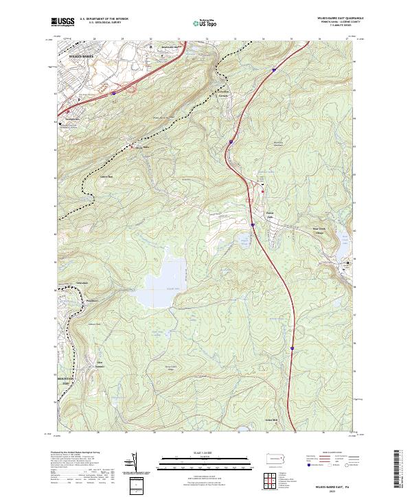
1947 Wilkes-Barre East
Luzerne County, PA
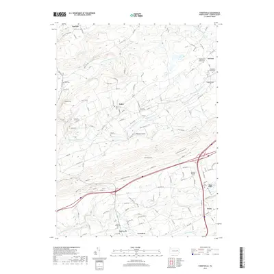
1947 Wilkes-Barre West
Luzerne County, PA
1949 Sweet Valley
Luzerne County, PA

1950 Wilkes-Barre East
Luzerne County, PA

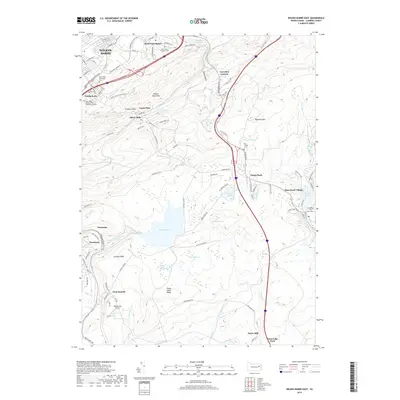
1950 Wilkes-Barre West
Luzerne County, PA
1955 Sybertsville
Luzerne County, PA
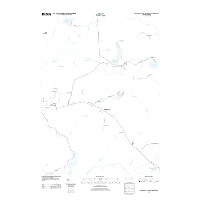
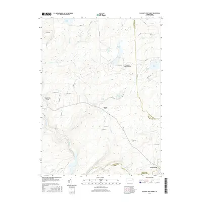
1965 Pleasant View Summit
Luzerne County, PA
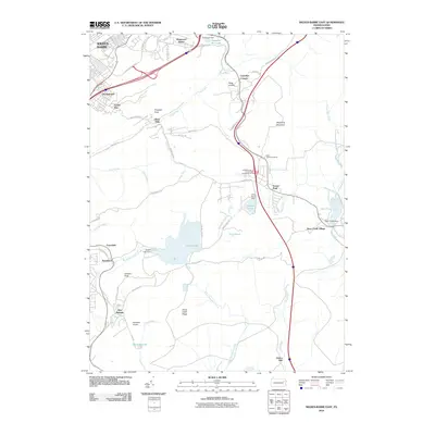
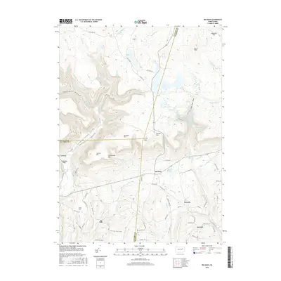
1969 Red Rock
Luzerne County, PA

1976 Pleasant View Summit
Luzerne County, PA

1976 Sybertsville
Luzerne County, PA

1976 Wilkes-Barre East
Luzerne County, PA

1976 Wilkes-Barre West
Luzerne County, PA

1992 Pleasant View Summit
Luzerne County, PA

1994 Wilkes-Barre East
Luzerne County, PA

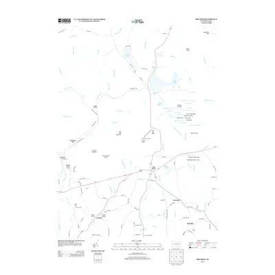
1995 Red Rock
Luzerne County, PA

1997 Pleasant View Summit
Luzerne County, PA

1999 Wilkes-Barre East
Luzerne County, PA
2010 Pleasant View Summit
Luzerne County, PA

2010 Red Rock
Luzerne County, PA
2010 Sweet Valley
Luzerne County, PA
2010 Sybertsville
Luzerne County, PA
2010 Wilkes-Barre East
Luzerne County, PA
2010 Wilkes-Barre West
Luzerne County, PA
2013 Pleasant View Summit
Luzerne County, PA
2013 Red Rock
Luzerne County, PA
2013 Sweet Valley
Luzerne County, PA
2013 Sybertsville
Luzerne County, PA
2013 Wilkes-Barre East
Luzerne County, PA
2013 Wilkes-Barre West
Luzerne County, PA
2016 Pleasant View Summit
Luzerne County, PA
2016 Red Rock
Luzerne County, PA
2016 Sweet Valley
Luzerne County, PA
2016 Sybertsville
Luzerne County, PA
2016 Wilkes-Barre East
Luzerne County, PA

2016 Wilkes-Barre West
Luzerne County, PA
2019 Pleasant View Summit
Luzerne County, PA
2019 Red Rock
Luzerne County, PA
2019 Sweet Valley
Luzerne County, PA
2019 Sybertsville
Luzerne County, PA
2019 Wilkes-Barre East
Luzerne County, PA
2019 Wilkes-Barre West
Luzerne County, PA

2023 Pleasant View Summit
Luzerne County, PA

2023 Red Rock
Luzerne County, PA
2023 Sweet Valley
Luzerne County, PA

2023 Sybertsville
Luzerne County, PA
2023 Wilkes-Barre East
Luzerne County, PA

2023 Wilkes-Barre West
Luzerne County, PA