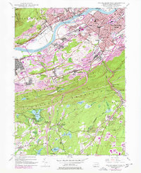
1947 Map of Wilkes-Barre West
USGS Topo · Published 1978About this map
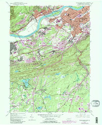
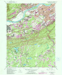
Plymouth and the surrounding coal-country settlements define this reach of the Susquehanna River, where the industrial character of the Wyoming Valley is etched into the landscape. The map shows a region shaped by extractive industry, where numerous strip mines and mine dumps sit adjacent to established neighborhoods like Larksville, Breslau, and Buttonwood. Significant family and local history details are preserved, from Shawnee Cem in the north to the small crossroads of Vandermark Corners in the south.
Find a feature on this map
99 named features on this map. Tap any name to fly to it.
Don’t see what you’re looking for? This feature index may not catch every label — zoom into the map to look around manually.
Map Details
Editions of this 1947 Wilkes-Barre West Map
6 editions found
Other maps of this area

1891 · Wilkesbarre
USGS Topo · 1:62,500

1891 · Harveys Lake
USGS Topo · 1:62,500

1893 · Harvey Lake
USGS Topo · 1:62,500

1893 · Pittston
USGS Topo · 1:62,500

1894 · Shickshinny
USGS Topo · 1:62,500

1894 · Wilkesbarre
USGS Topo · 1:62,500

1943 · Scranton
USGS Topo · 1:125,000

1946 · Sybertsville
USGS Topo · 1:31,680

1946 · Nanticoke
USGS Topo · 1:31,680

1946 · Kingston
USGS Topo · 1:24,000