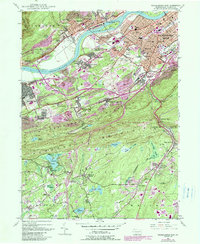
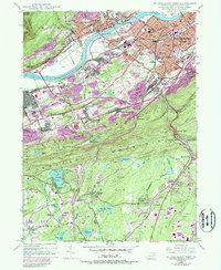
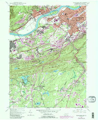
1947 Map of Wilkes-Barre West
USGS Topo · Published 1990About this map
Wilkes-Barre and its western neighbors are captured in this mid-century topographic survey, showing a landscape defined by the heavy footprint of anthracite coal mining and the bend of the Susquehanna River. The map reveals the dense settlement patterns of the Wyoming Valley, where industrial hubs like Plymouth and Larksville are crowded with infrastructure. Evident in the terrain are the extensive Strip Mines and numerous Mine Dumps that altered the natural contours of Wilkes-Barre Mountain and Penobscot Mountain.
Find a feature on this map
97 named features on this map. Tap any name to fly to it.
Don’t see what you’re looking for? This feature index may not catch every label — zoom into the map to look around manually.
Map Details
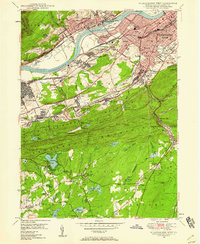
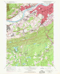
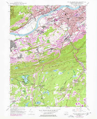
Editions of this 1947 Wilkes-Barre West Map
6 editions found
Other maps of this area

1891 · Wilkesbarre
USGS Topo · 1:62,500

1891 · Harveys Lake
USGS Topo · 1:62,500

1893 · Harvey Lake
USGS Topo · 1:62,500

1893 · Pittston
USGS Topo · 1:62,500

1894 · Shickshinny
USGS Topo · 1:62,500

1894 · Wilkesbarre
USGS Topo · 1:62,500

1943 · Scranton
USGS Topo · 1:125,000

1946 · Sybertsville
USGS Topo · 1:31,680

1946 · Nanticoke
USGS Topo · 1:31,680

1946 · Kingston
USGS Topo · 1:24,000