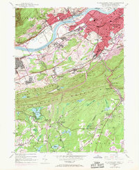
1947 Map of Wilkes-Barre West
USGS Topo · Published 1969About this map
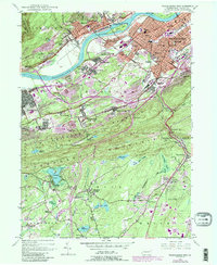
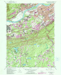
Industrial and community life in the Wyoming Valley is defined by the sharp transition between the dense urban corridors of Wilkes-Barre and the steep slopes of Penobscot Mountain. This 1947 survey, updated with 1969 revisions, documents a landscape shaped by coal and transit, where Mine Dump and Strip Mine symbols sit adjacent to established neighborhoods like Lynnwood, Lee Park, and Buttonwood. The Susquehanna River remains the central axis, flanked by an extensive rail network including the Erie-Lackawanna and the Central RR Of New Jersey, while a string of cemeteries such as Shawnee Cem and Maple Hill Cem provide essential data for local genealogy. To the south, the terrain shifts into more rural territory near Nuangola Lake, where family landmarks like Bliem Corners and Wech Corners appear alongside recreational spots like The Ice Ponds, illustrating the region's movement from heavy industry to upland retreats.
Find a feature on this map
101 named features on this map. Tap any name to fly to it.
Don’t see what you’re looking for? This feature index may not catch every label — zoom into the map to look around manually.
Map Details
Editions of this 1947 Wilkes-Barre West Map
6 editions found
Other maps of this area

1891 · Wilkesbarre
USGS Topo · 1:62,500

1891 · Harveys Lake
USGS Topo · 1:62,500

1893 · Harvey Lake
USGS Topo · 1:62,500

1893 · Pittston
USGS Topo · 1:62,500

1894 · Shickshinny
USGS Topo · 1:62,500

1894 · Wilkesbarre
USGS Topo · 1:62,500

1943 · Scranton
USGS Topo · 1:125,000

1946 · Sybertsville
USGS Topo · 1:31,680

1946 · Nanticoke
USGS Topo · 1:31,680

1946 · Kingston
USGS Topo · 1:24,000