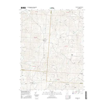
2016 Map of Wilkesville
USGS Topo · Published 2016About this map
Wilkesville serves as the primary hub in this southern Ohio landscape where Vinton, Meigs, and Gallia counties converge. The terrain is defined by a dense network of waterways, including the winding Raccoon Creek and its many tributaries like Strongs Run and Flatlick Run, which dictate the placement of early settlements and rural roads. Significant for genealogists, the area is dotted with numerous family and community burial grounds such as Wilkesville Cem, Ewington Cem, and the Mount Olive Cemetery near the northern boundary.
Find a feature on this map
108 named features on this map. Tap any name to fly to it.
Don’t see what you’re looking for? This feature index may not catch every label — zoom into the map to look around manually.
Map Details
Editions of this 2016 Wilkesville Map
This is the sole edition of this map. No revisions or reprints were ever made.
Other maps of this area

1905 · Wilkesville
USGS Topo · 1:62,500

1906 · Bidwell
USGS Topo · 1:62,500

1907 · Pomeroy
USGS Topo · 1:62,500

1908 · Bidwell
USGS Topo · 1:62,500

1908 · Point Pleasant
USGS Topo · 1:62,500

1908 · Wilkesville
USGS Topo · 1:62,500

1926 · Point Pleasant
USGS Topo · 1:62,500

1929 · Point Pleasant
USGS Topo · 1:62,500

1947 · Columbus
USGS Topo · 1:250,000

1957 · Huntington
USGS Topo · 1:250,000