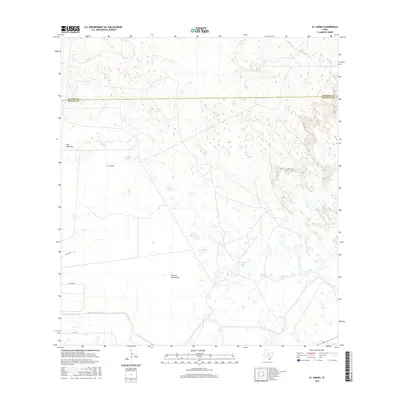
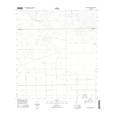
1956 Map of Willamar
USGS Topo · Published 1984About this map
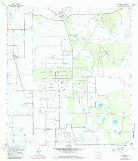
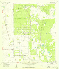
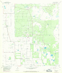
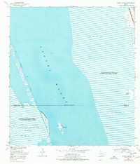
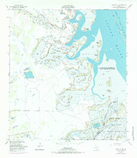
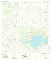
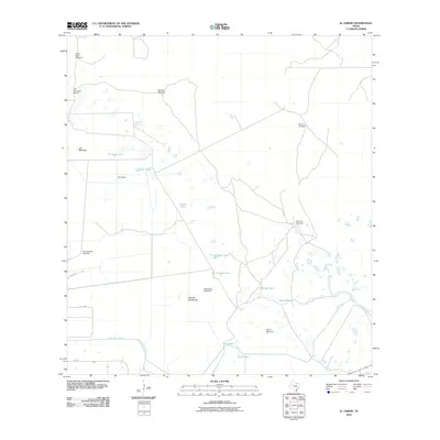
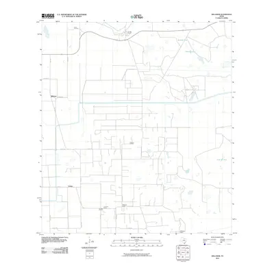
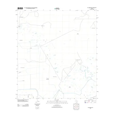
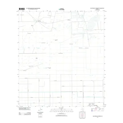
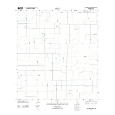
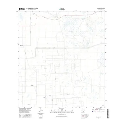
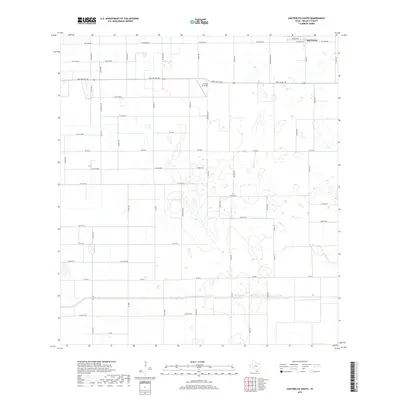
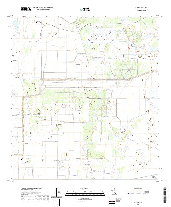
The Willamar Oil Field dominates this South Texas landscape, defined by an intricate network of pipelines and service roads established in the mid-20th century. While the industrial footprint of the field is substantial, the map also preserves the agricultural and ranching heritage of Willacy County. Significant family holdings like El Sauz Ranch and La Jarita Ranch appear alongside worker housing at Willamar Camp, reflecting the dual economy of petroleum and cattle. Water management is a critical feature of this coastal plain, evidenced by the North Floodway, the East Main Drain, and numerous livestock tanks such as Quemada Tank and Sacatosa Tank. Researchers will find localized details including the La Jarita Cem and the small settlement at Porfirio, providing a granular view of the region during a period of infrastructure expansion and land-use revision.
Find a feature on this map
34 named features on this map. Tap any name to fly to it.
Don’t see what you’re looking for? This feature index may not catch every label — zoom into the map to look around manually.
Map Details
Editions of this 1956 Willamar Map
3 editions found
Historical Maps of Willamar Through Time
63 maps found
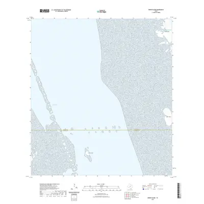
1952 Green Island
Willacy County, TX
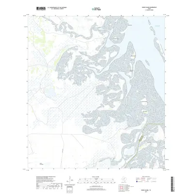
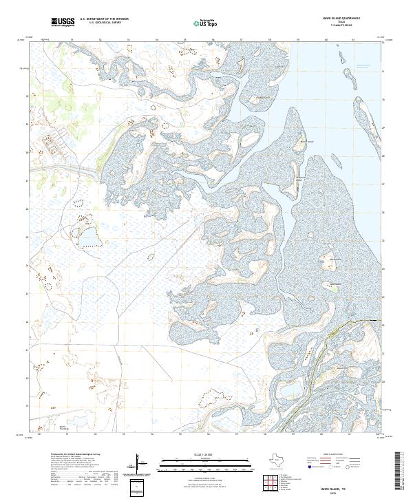
1952 Hawk Island
Willacy County, TX
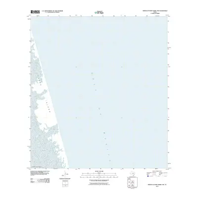
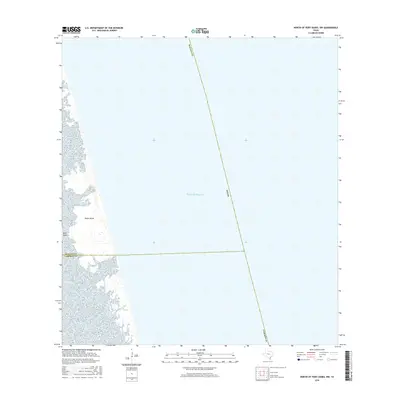
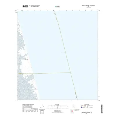
1952 North Of Port Isabel NW
Willacy County, TX
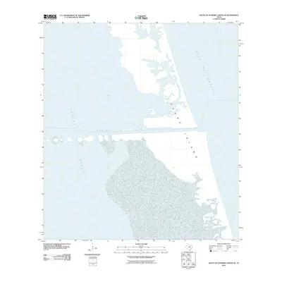
1952 South of Potrero Lopeno SE
Willacy County, TX
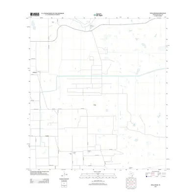
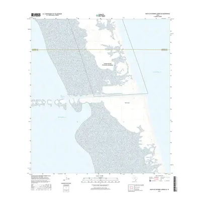
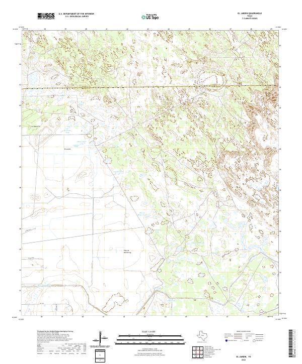
1956 El Jardin
Willacy County, TX
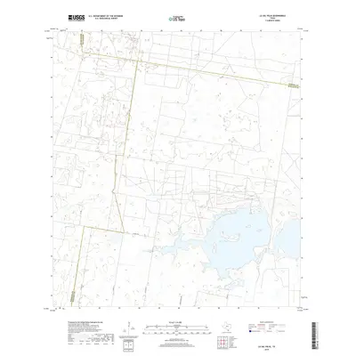
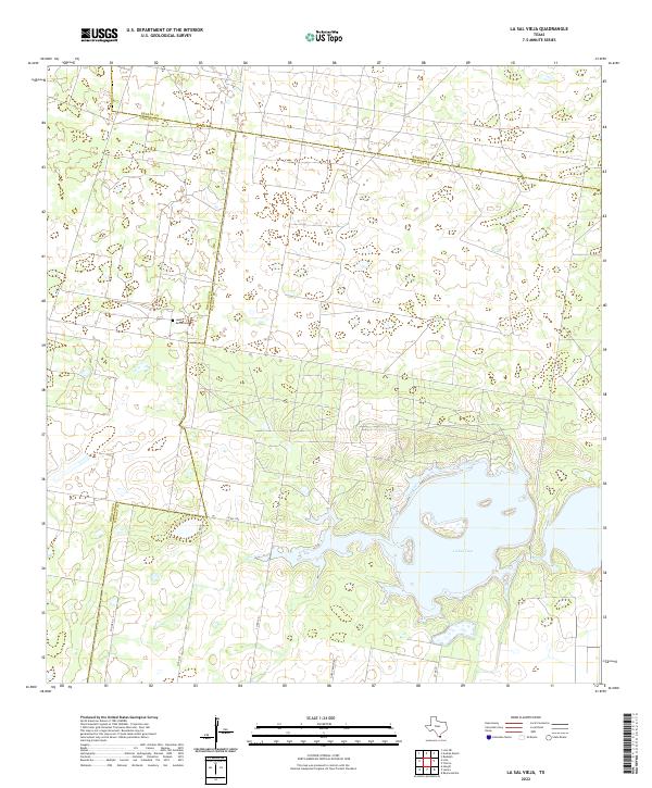
1956 La Sal Vieja
Willacy County, TX
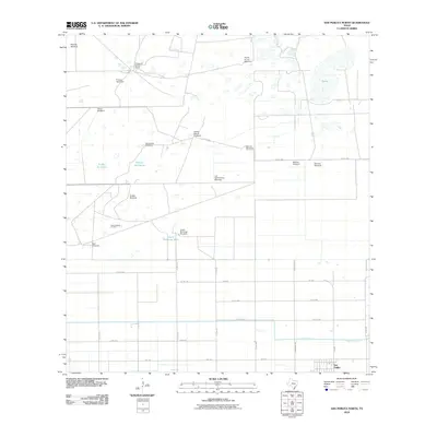
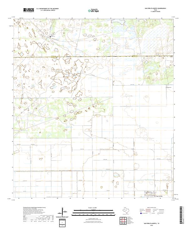
1956 San Perlita North
Willacy County, TX
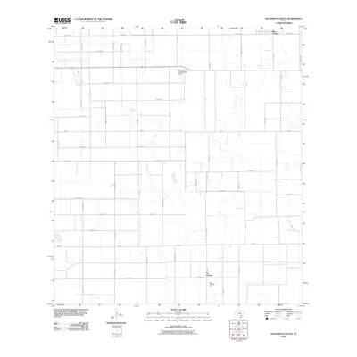
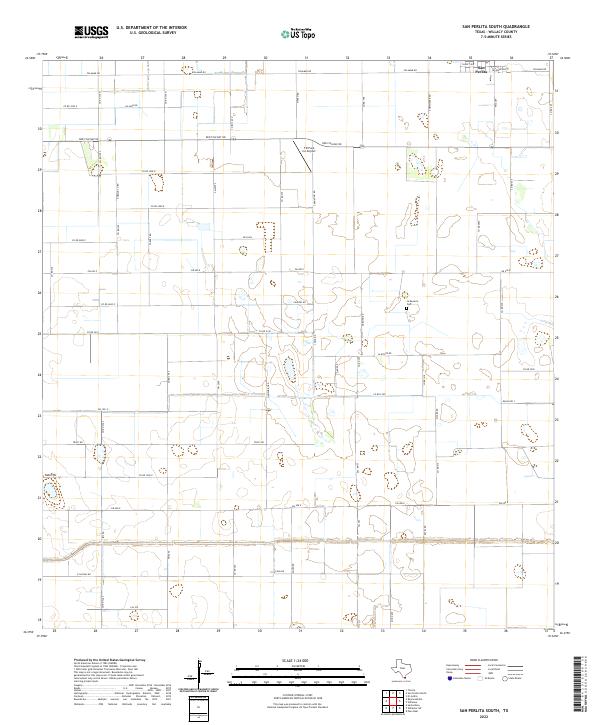
1956 San Perlita South
Willacy County, TX
1956 Willamar
Willacy County, TX
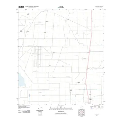
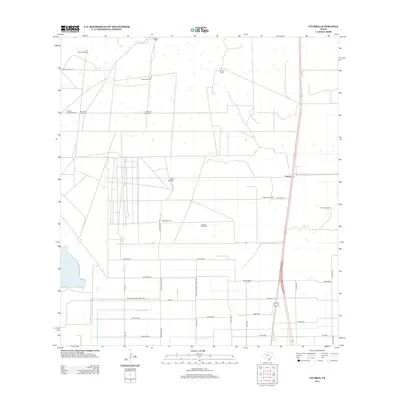
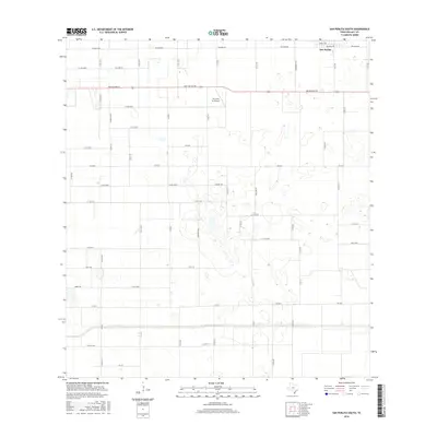
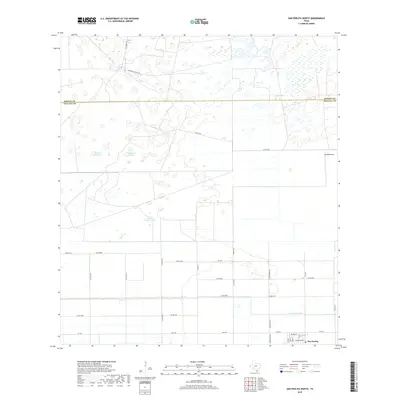
1956 Yturria
Willacy County, TX
2010 El Jardin
Willacy County, TX
2010 Green Island
Willacy County, TX
2010 Hawk Island
Willacy County, TX
2010 La Sal Vieja
Willacy County, TX
2010 North of Port Isabel NW
Willacy County, TX
2010 San Perlita North
Willacy County, TX
2010 San Perlita South
Willacy County, TX
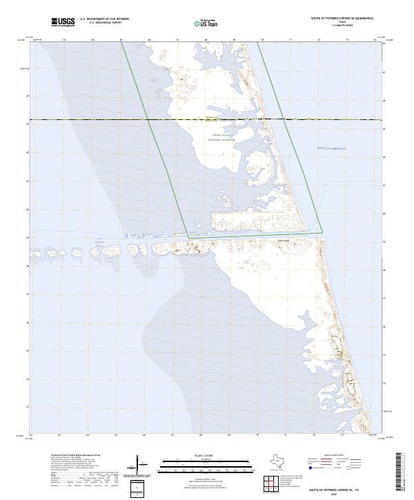
2010 South of Potrero Lopeno SE
Willacy County, TX
2010 Willamar
Willacy County, TX
2010 Yturria
Willacy County, TX
2012 Green Island
Willacy County, TX
2012 South of Potrero Lopeno SE
Willacy County, TX
2013 El Jardin
Willacy County, TX
2013 Hawk Island
Willacy County, TX
2013 La Sal Vieja
Willacy County, TX
2013 North of Port Isabel NW
Willacy County, TX
2013 San Perlita North
Willacy County, TX
2013 San Perlita South
Willacy County, TX
2013 Willamar
Willacy County, TX
2013 Yturria
Willacy County, TX
2016 El Jardin
Willacy County, TX
2016 Green Island
Willacy County, TX
2016 Hawk Island
Willacy County, TX
2016 La Sal Vieja
Willacy County, TX
2016 North of Port Isabel NW
Willacy County, TX
2016 San Perlita North
Willacy County, TX
2016 San Perlita South
Willacy County, TX
2016 South of Potrero Lopeno SE
Willacy County, TX
2016 Willamar
Willacy County, TX
2016 Yturria
Willacy County, TX
2019 El Jardin
Willacy County, TX
2019 Green Island
Willacy County, TX
2019 Hawk Island
Willacy County, TX
2019 La Sal Vieja
Willacy County, TX
2019 North of Port Isabel NW
Willacy County, TX
2019 San Perlita North
Willacy County, TX
2019 San Perlita South
Willacy County, TX
2019 South of Potrero Lopeno SE
Willacy County, TX
2019 Willamar
Willacy County, TX
2019 Yturria
Willacy County, TX
2022 El Jardin
Willacy County, TX
2022 Green Island
Willacy County, TX
2022 Hawk Island
Willacy County, TX
2022 La Sal Vieja
Willacy County, TX
2022 North of Port Isabel NW
Willacy County, TX
2022 San Perlita North
Willacy County, TX
2022 San Perlita South
Willacy County, TX
2022 South of Potrero Lopeno SE
Willacy County, TX
2022 Willamar
Willacy County, TX
2022 Yturria
Willacy County, TX
2025 Green Island
Willacy County, TX
2025 North of Port Isabel NW
Willacy County, TX
2025 South of Potrero Lopeno SE
Willacy County, TX