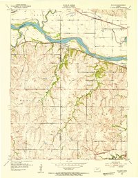
1952 Map of Willard
USGS Topo · Published 1954About this map
The Kansas River winds through the heart of this mid-century landscape, marking the boundary between the townships of Rossville and Maple Hill. The settlement of Willard sits at a strategic crossing point where the Chicago Rock Island and Pacific railroad tracks parallel the river's southern bank, while the Union Pacific line runs to the north near Silver Lake. This period of the early 1950s shows a rural landscape anchored by small community landmarks, including the West Union Ch and Green Cem, which served the dispersed farming population in the upland areas south of the river valley.
Find a feature on this map
24 named features on this map. Tap any name to fly to it.
Don’t see what you’re looking for? This feature index may not catch every label — zoom into the map to look around manually.
Map Details
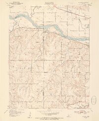
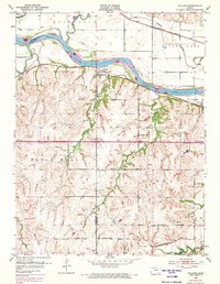
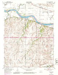
Editions of this 1952 Willard Map
4 editions found
Other maps of this area

1885 · Eskridge
USGS Topo · 1:125,000

1889 · Burlingame
USGS Topo · 1:125,000

1889 · Wamego
USGS Topo · 1:125,000

1889 · Eskridge
USGS Topo · 1:125,000

1889 · Topeka
USGS Topo · 1:125,000

1894 · Eskridge
USGS Topo · 1:125,000

1894 · Burlingame
USGS Topo · 1:125,000

1894 · Topeka
USGS Topo · 1:125,000

1894 · Wamego
USGS Topo · 1:125,000

1947 · Lawrence
USGS Topo · 1:250,000