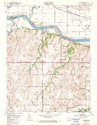
1952 Map of Willard
USGS Topo · Published 1973About this map
The Kansas River winds through the heart of this landscape, marking the historical divide between Shawnee and Wabaunsee counties. In the early 1950s, the river valley supported a network of small agricultural hubs like Willard and Valencia, which remained tied to the major rail lines traversing the bottomlands. The Chicago Rock Island and Pacific railroad follows the southern bank, while the Union Pacific runs along the northern flats near Silver Lake.
Find a feature on this map
26 named features on this map. Tap any name to fly to it.
Don’t see what you’re looking for? This feature index may not catch every label — zoom into the map to look around manually.
Map Details
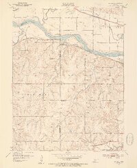
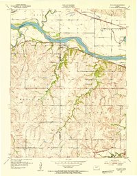
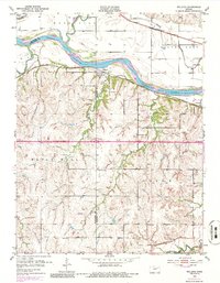
Editions of this 1952 Willard Map
4 editions found
Other maps of this area

1885 · Eskridge
USGS Topo · 1:125,000

1889 · Burlingame
USGS Topo · 1:125,000

1889 · Wamego
USGS Topo · 1:125,000

1889 · Eskridge
USGS Topo · 1:125,000

1889 · Topeka
USGS Topo · 1:125,000

1894 · Eskridge
USGS Topo · 1:125,000

1894 · Burlingame
USGS Topo · 1:125,000

1894 · Topeka
USGS Topo · 1:125,000

1894 · Wamego
USGS Topo · 1:125,000

1947 · Lawrence
USGS Topo · 1:250,000