Loading...
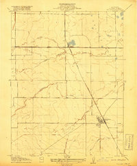
Loading map...1952 Map of Williams
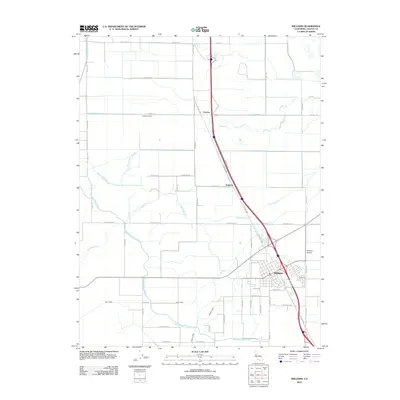
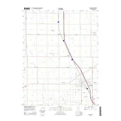
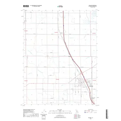
USGS Topo · Published 1994About this map
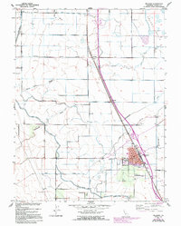
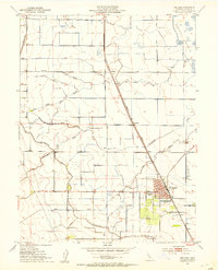
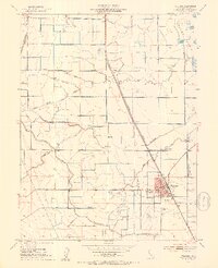
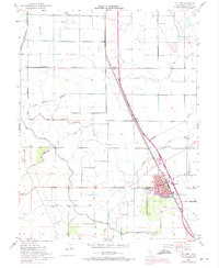
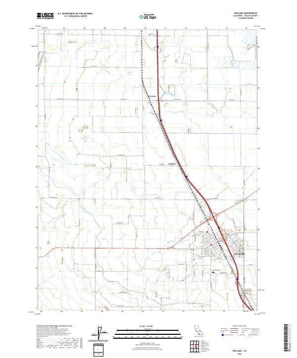
The agricultural landscape of the Colusa Basin is defined by a complex irrigation network, as documented in this mid-century survey with revisions through the early 1970s. The town of Williams serves as the central hub, situated where the Southern Pacific railroad meets the regional highway system. Local governance and social infrastructure are visible through landmarks like City Hall, the Union High Sch, and the local Cem.
Find a feature on this map
28 named features on this map. Tap any name to fly to it.
Don’t see what you’re looking for? This feature index may not catch every label — zoom into the map to look around manually.
Map Details
Date Portrayed1952
Date Published1994
PublisherU.S. Geological Survey
Map TypeTopographic
Scale1:24,000
Physical Dimensions21.4 x 26.7 inches
Editions of this 1952 Williams Map
4 editions found
Historical Maps of Williams Through Time
6 maps found
Featured Locations
Source Details
SourceU.S. Geological Survey
CopyrightPublic Domain