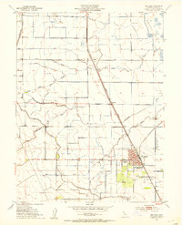
1952 Map of Williams
USGS Topo · Published 1953About this map
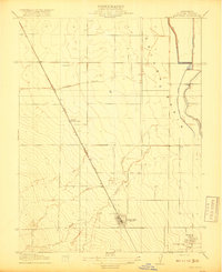
Williams serves as the focal point of this agricultural and transit corridor in Colusa County during the early 1950s. The town's civic and social infrastructure is clearly defined, featuring the City Hall, the Po (Post Office), and Union High School. South of the main town center, a Drive-in Theatre reflects the mid-century era's roadside culture. The landscape is heavily shaped by water management and transport, dominated by the Southern Pacific railroad line and the Glenn-Colusa Canal. Rural life outside the town includes small stations or settlements like Cortena and Delphos, alongside numerous irrigation features such as Freshwater Creek and Salt Creek. To the northeast, the Colusa Basin and the Kuhl Gun Club mark the edge of the cultivated valley floor, where drainage and siphons manage the seasonal waters of Lurline Creek and various sloughs.
Find a feature on this map
28 named features on this map. Tap any name to fly to it.
Don’t see what you’re looking for? This feature index may not catch every label — zoom into the map to look around manually.
Map Details
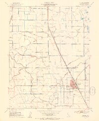
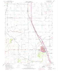
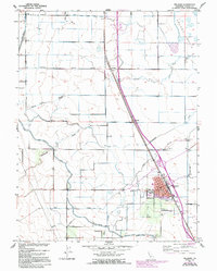
Editions of this 1952 Williams Map
4 editions found
Other maps of this area

1904 · Sites
USGS Topo · 1:24,000

1905 · Fairview
USGS Topo · 1:24,000

1906 · Maxwell
USGS Topo · 1:62,500

1907 · Colusa
USGS Topo · 1:62,500

1917 · Compton Landing
USGS Topo · 1:31,680

1917 · Sites
USGS Topo · 1:31,680

1917 · Delevan
USGS Topo · 1:31,680

1918 · Williams
USGS Topo · 1:31,680

1918 · Spring Valley
USGS Topo · 1:31,680
1918 · Arbuckle
USGS Topo · 1:31,680