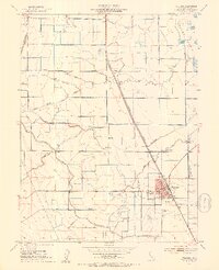
1952 Map of Williams
USGS Topo · Published 1953About this map
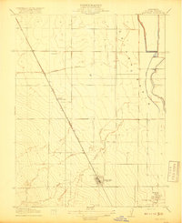
Williams serves as the focal point of this mid-century agricultural landscape, situated at the intersection of the Southern Pacific railroad and a developing highway network. The town's civic core is clearly defined by its Union High School, City Hall, and Post Office, while its social and commercial outskirts feature a Drive-in Theatre and a nearby Landing Strip. The surrounding terrain of Colusa Basin and Glenn Valley is shaped by an extensive water management system designed for industrial-scale farming, including the Glenn-Colusa Canal and numerous siphons and levees.
Find a feature on this map
25 named features on this map. Tap any name to fly to it.
Don’t see what you’re looking for? This feature index may not catch every label — zoom into the map to look around manually.
Map Details
Editions of this 1952 Williams Map
4 editions found
Other maps of this area

1904 · Sites
USGS Topo · 1:24,000

1905 · Fairview
USGS Topo · 1:24,000

1906 · Maxwell
USGS Topo · 1:62,500

1907 · Colusa
USGS Topo · 1:62,500

1917 · Compton Landing
USGS Topo · 1:31,680

1917 · Sites
USGS Topo · 1:31,680

1917 · Delevan
USGS Topo · 1:31,680

1918 · Williams
USGS Topo · 1:31,680

1918 · Spring Valley
USGS Topo · 1:31,680
1918 · Arbuckle
USGS Topo · 1:31,680