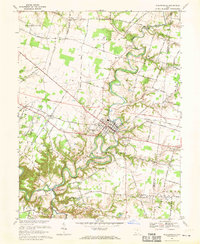
1968 Map of Williamsburg
USGS Topo · Published 1970About this map
The East Fork Little Miami River carves a deep, winding path through Clermont County, defining the settlement patterns of the late 1960s. Williamsburg sits at a critical junction where the Norfolk and Western Railway crosses the river, surrounded by a network of smaller agricultural hamlets like Afton, Blowville, and Crosstown. The landscape is etched with local history, from the Williamsburg Cem to country congregations at Maple Grove Ch and Pilgrim Ch.
Find a feature on this map
61 named features on this map. Tap any name to fly to it.
Don’t see what you’re looking for? This feature index may not catch every label — zoom into the map to look around manually.
Map Details
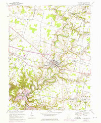
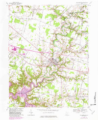
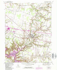
Editions of this 1968 Williamsburg Map
4 editions found
Other maps of this area

1914 · Batavia
USGS Topo · 1:48,000

1916 · Batavia
USGS Topo · 1:62,500

1917 · Sardinia
USGS Topo · 1:62,500

1928 · Higginsport
USGS Topo · 1:48,000

1931 · Felicity
USGS Topo · 1:62,500

1931 · Higginsport
USGS Topo · 1:62,500

1944 · Sardinia
USGS Topo · 1:62,500

1947 · Columbus
USGS Topo · 1:250,000

1953 · Laurel
USGS Topo · 1:24,000

1953 · Bethel
USGS Topo · 1:24,000