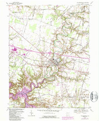
1968 Map of Williamsburg
USGS Topo · Published 1987About this map
The East Fork Little Miami River snakes through the center of this Clermont County landscape, defining the character of the village of Williamsburg. In the late 1960s, the area was undergoing significant transitions, with the establishment of East Fork State Park and the creation of Lake Marsha on the western edge. The Norfolk and Western railroad corridor provides a sharp diagonal through the terrain, connecting the settlement at Afton to the larger regional network.
Find a feature on this map
56 named features on this map. Tap any name to fly to it.
Don’t see what you’re looking for? This feature index may not catch every label — zoom into the map to look around manually.
Map Details
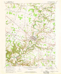
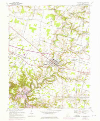
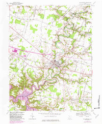
Editions of this 1968 Williamsburg Map
4 editions found
Other maps of this area

1914 · Batavia
USGS Topo · 1:48,000

1916 · Batavia
USGS Topo · 1:62,500

1917 · Sardinia
USGS Topo · 1:62,500

1928 · Higginsport
USGS Topo · 1:48,000

1931 · Felicity
USGS Topo · 1:62,500

1931 · Higginsport
USGS Topo · 1:62,500

1944 · Sardinia
USGS Topo · 1:62,500

1947 · Columbus
USGS Topo · 1:250,000

1953 · Laurel
USGS Topo · 1:24,000

1953 · Bethel
USGS Topo · 1:24,000