
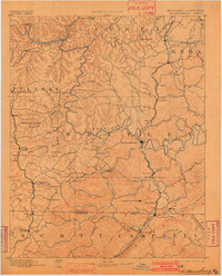
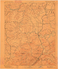
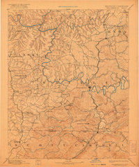
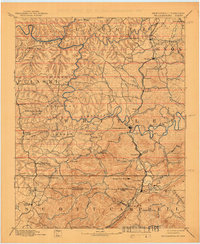
1894 Map of Williamsburg
USGS Topo · Published 1894About this map
The Cumberland River carves a deep, winding course through this 1894 survey, anchoring a landscape defined by its rugged river systems and emerging industrial corridors. Long before modern reservoirs altered the region, the Laurel River and Rockcastle River met the Cumberland amidst a network of small settlements and early industrial sites. The southern portion of the map is defined by the Kentucky Tennessee border, where the L. & N. R. R. and the Knoxville & Ohio Div. railroads facilitate the movement of coal from operations like the Kensee Coal Mine and Barren Fork Coal Mine.
Find a feature on this map
99 named features on this map. Tap any name to fly to it.
Don’t see what you’re looking for? This feature index may not catch every label — zoom into the map to look around manually.
Map Details
Editions of this 1894 Williamsburg Map
5 editions found
Other maps of this area

1886 · Cumberland Gap
USGS Topo · 1:125,000

1888 · Cumberland Gap
USGS Topo · 1:125,000

1890 · Williamsburg
USGS Topo · 1:125,000

1891 · Manchester
USGS Topo · 1:125,000

1891 · Cumberland Gap
USGS Topo · 1:125,000

1893 · London
USGS Topo · 1:125,000

1893 · Briceville
USGS Topo · 1:125,000

1895 · Wartburg
USGS Topo · 1:125,000

1895 · Briceville
USGS Topo · 1:125,000

1896 · Wartburg
USGS Topo · 1:125,000