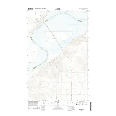
2014 Map of Williston SW
USGS Topo · Published 2014About this map
Lake Sakakawea dominates this 2014 survey, marking the watery divide between Williams Co and McKenzie Co. The landscape is defined by the expansive reservoir and its intricate shoreline, where the Missouri River valley was reshaped by mid-century engineering. Significant infrastructure is centered around Us-85, which serves as a primary transit corridor crossing the northern reaches of the lake.
Find a feature on this map
28 named features on this map. Tap any name to fly to it.
Don’t see what you’re looking for? This feature index may not catch every label — zoom into the map to look around manually.
Map Details
Editions of this 2014 Williston SW Map
This is the sole edition of this map. No revisions or reprints were ever made.
Other maps of this area

1953 · Williston
USGS Topo · 1:250,000

1953 · Watford City
USGS Topo · 1:250,000

1957 · Williston
USGS Topo · 1:250,000

1957 · Watford City
USGS Topo · 1:250,000

1959 · Williston West
USGS Topo · 1:24,000

1959 · Williston East
USGS Topo · 1:24,000

1967 · Watford City
USGS Topo · 1:250,000

1969 · Trenton
USGS Topo · 1:24,000

1969 · Cartwright NE
USGS Topo · 1:24,000

1974 · Trenton NE
USGS Topo · 1:24,000