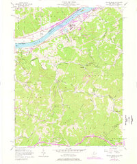
1957 Map of Willow Island
USGS Topo · Published 1977About this map
The Ohio River corridor north of Waverly is dominated by the industrial and transport infrastructure of the mid-20th century. This 1957 survey highlights the Willow Island Locks and Dam and the adjacent Baltimore and Ohio railroad line that follows the river's eastern bank through Willow Island and Belmont. While the riverfront shows significant development, including the industrial activity at Willow Island, the interior terrain remains characterized by the complex ridge-and-valley topography of Grant and Hannah townships.
Find a feature on this map
63 named features on this map. Tap any name to fly to it.
Don’t see what you’re looking for? This feature index may not catch every label — zoom into the map to look around manually.
Map Details
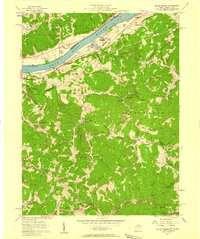
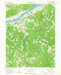
Editions of this 1957 Willow Island Map
3 editions found
Other maps of this area

1904 · Marietta
USGS Topo · 1:62,500

1906 · Saint Marys
USGS Topo · 1:62,500

1906 · Elizabeth
USGS Topo · 1:62,500

1907 · Harrisville
USGS Topo · 1:62,500

1924 · St Marys
USGS Topo · 1:62,500

1924 · Harrisville
USGS Topo · 1:62,500

1924 · Marietta
USGS Topo · 1:62,500

1924 · Elizabeth
USGS Topo · 1:62,500

1926 · Elizabeth
USGS Topo · 1:62,500

1926 · Harrisville
USGS Topo · 1:62,500