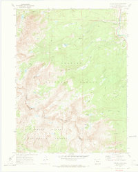
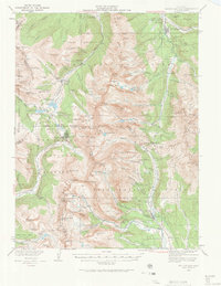
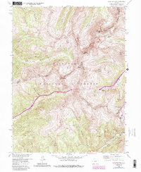
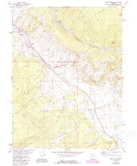
1970 Map of Willow Lakes
USGS Topo · Published 1973This historical map portrays the area of Willow Lakes in 1970, primarily covering Summit County as well as portions of Eagle County. Featuring a scale of 1:24000, this map provides a highly detailed snapshot of the terrain, roads, buildings, counties, and historical landmarks in the Willow Lakes region at the time. Published in 1973, it is one of 4 known editions of this map due to revisions or reprints.
Find a feature on this map
41 named features on this map. Tap any name to fly to it.
Don’t see what you’re looking for? This feature index may not catch every label — zoom into the map to look around manually.
Map Details
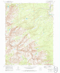
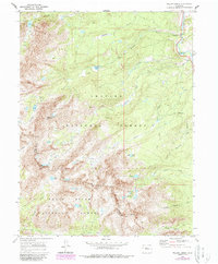
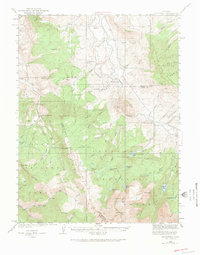
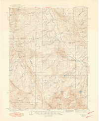
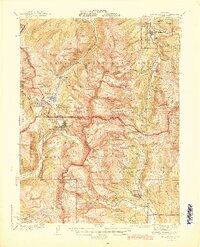
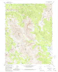
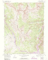
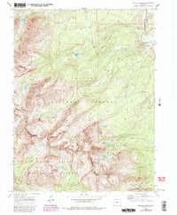
Editions of this 1970 Willow Lakes Map
4 editions found
Historical Maps of Colorado Through Time
12 maps found
1933 Mount Powell
Summit County, CO

1934 Climax
Summit County, CO
1938 Mount Lincoln
Summit County, CO
1940 Mount Powell
Summit County, CO
1945 Mt. Lincoln
Summit County, CO
1957 Boreas Pass
Summit County, CO
1958 Loveland Pass
Summit County, CO
1970 Vail Pass
Summit County, CO
1970 Willow Lakes
Summit County, CO
1980 Mount Powell
Summit County, CO
1980 Squaw Creek
Summit County, CO
1994 Boreas Pass
Summit County, CO