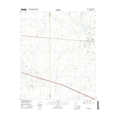
2016 Map of Wills Point
USGS Topo · Published 2016About this map
Wills Point serves as the primary hub in this East Texas landscape, where the street grid of the town center meets the surrounding creek-cut terrain. The area is defined by a dense network of watercourses, including the westward-flowing Rocky Cedar Cr and the branching Wolf Cr. To the south, the settlement of Hiram sits near the Locust Grove Cem, while the small community of Cobb is situated to the northwest.
Find a feature on this map
99 named features on this map. Tap any name to fly to it.
Don’t see what you’re looking for? This feature index may not catch every label — zoom into the map to look around manually.
Map Details
Editions of this 2016 Wills Point Map
This is the sole edition of this map. No revisions or reprints were ever made.
Other maps of this area

1954 · Dallas
USGS Topo · 1:250,000

1956 · Tyler
USGS Topo · 1:250,000
1956 · Quinlan
USGS Topo · 1:62,500
1956 · Emory
USGS Topo · 1:62,500

1958 · Dallas
USGS Topo · 1:250,000
1962 · Myrtle Springs
USGS Topo · 1:24,000
1962 · Elmo
USGS Topo · 1:24,000
1962 · Cedarvale
USGS Topo · 1:24,000
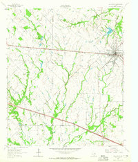
1962 · Wills Point
USGS Topo · 1:24,000
1962 · Ola
USGS Topo · 1:24,000