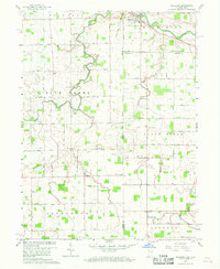
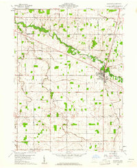
1960 Map of Willshire
USGS Topo · Published 1968About this map
St Marys River winds through the northeast corner of this landscape, anchoring the village of Willshire. This agricultural borderland between Ohio and Indiana is defined by a dense network of family-named roads and scattered rural institutions. The map reveals a high concentration of small community centers, including Salem and Chattanooga, which served as local hubs before the consolidation of rural services.
Find a feature on this map
41 named features on this map. Tap any name to fly to it.
Don’t see what you’re looking for? This feature index may not catch every label — zoom into the map to look around manually.
Map Details
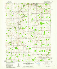
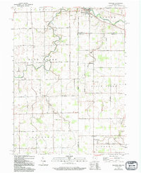
Editions of this 1960 Willshire Map
3 editions found
Other maps of this area

1911 · Berne
USGS Topo · 1:48,000

1914 · Celina
USGS Topo · 1:62,500

1914 · Van Wert
USGS Topo · 1:62,500

1944 · Van Wert
USGS Topo · 1:62,500

1944 · Celina
USGS Topo · 1:62,500

1953 · Muncie
USGS Topo · 1:250,000

1956 · Muncie
USGS Topo · 1:250,000
1960 · Erastus
USGS Topo · 1:24,000
1960 · Rockford
USGS Topo · 1:24,000
1960 · Glenmore
USGS Topo · 1:24,000