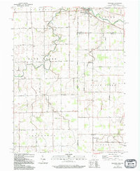
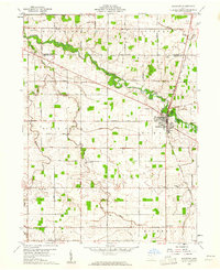
1960 Map of Willshire
USGS Topo · Published 1994About this map
The St Marys River winds through the village of Willshire, anchoring a landscape defined by the intersection of the Indiana and Ohio state line. This 1960 survey captures the rural layout of Van Wert and Mercer counties, where a grid of section-line roads like South Road and Winkler Road connects small farming communities and country parishes. The map reveals the distribution of social hubs for the era, from the Blue Creek Sch to numerous churches such as Union Ch and Mt Hope Ch.
Find a feature on this map
42 named features on this map. Tap any name to fly to it.
Don’t see what you’re looking for? This feature index may not catch every label — zoom into the map to look around manually.
Map Details
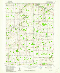
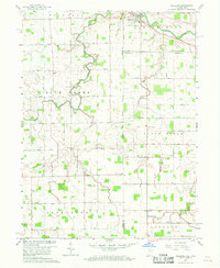
Editions of this 1960 Willshire Map
3 editions found
Other maps of this area

1911 · Berne
USGS Topo · 1:48,000

1914 · Celina
USGS Topo · 1:62,500

1914 · Van Wert
USGS Topo · 1:62,500

1944 · Van Wert
USGS Topo · 1:62,500

1944 · Celina
USGS Topo · 1:62,500

1953 · Muncie
USGS Topo · 1:250,000

1956 · Muncie
USGS Topo · 1:250,000
1960 · Erastus
USGS Topo · 1:24,000
1960 · Rockford
USGS Topo · 1:24,000
1960 · Glenmore
USGS Topo · 1:24,000