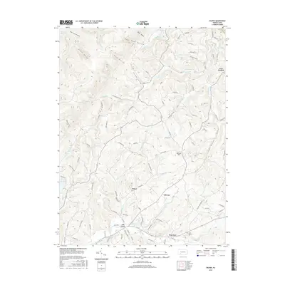
2016 Map of Wilpen
USGS Topo · Published 2016About this map
Wilpen and Hillsview sit at the heart of this Ligonier Township landscape, where the terrain shifts from the agricultural clearings of the southern valley to the high, shadowed ridges of the north. The map documents a complex drainage system defining the local geography, with the Blairsville Reservoir and Bolivar Reservoir tucked into the northern heights near Bear Cave Hollow and Death Valley. These steep-sided hollows, including Pine Hollow and Covode Hollow, illustrate the difficult topography that historically funneled travel along creek beds like Tubmill Cr and Hendricks Cr.
Find a feature on this map
97 named features on this map. Tap any name to fly to it.
Don’t see what you’re looking for? This feature index may not catch every label — zoom into the map to look around manually.
Map Details
Editions of this 2016 Wilpen Map
This is the sole edition of this map. No revisions or reprints were ever made.
Other maps of this area

1900 · Latrobe
USGS Topo · 1:62,500

1902 · Latrobe
USGS Topo · 1:62,500

1903 · Latrobe
USGS Topo · 1:62,500

1913 · Somerset
USGS Topo · 1:62,500

1915 · Somerset
USGS Topo · 1:62,500

1920 · New Florence
USGS Topo · 1:62,500

1921 · New Florence
USGS Topo · 1:48,000

1922 · Donegal
USGS Topo · 1:62,500

1922 · New Florence
USGS Topo · 1:62,500

1935 · Donegal
USGS Topo · 1:62,500
Featured Places
- Hillsview, Ligonier Township
- Fairfield Township, PA
- Derry Township, PA
- West Fairfield, Fairfield Township
- Waterford, Ligonier Township