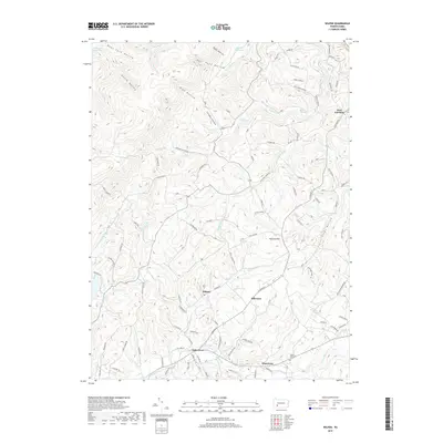
2019 Map of Wilpen
USGS Topo · Published 2019About this map
Wilpen and Hillsview sit at the center of this 2019 survey, illustrating the modern rural-suburban character of Westmoreland County. The landscape is defined by a dense network of watercourses and hollows, including Hannas Run and Mill Creek, which drain the varied elevations of the Laurel Highlands. Residential development follows historic corridors like Ligonier St, while the northern portion of the map remains largely dominated by timbered slopes and protected water resources such as the Blairsville Reservoir and Bolivar Reservoir.
Find a feature on this map
99 named features on this map. Tap any name to fly to it.
Don’t see what you’re looking for? This feature index may not catch every label — zoom into the map to look around manually.
Map Details
Editions of this 2019 Wilpen Map
This is the sole edition of this map. No revisions or reprints were ever made.
Other maps of this area

1900 · Latrobe
USGS Topo · 1:62,500

1902 · Latrobe
USGS Topo · 1:62,500

1903 · Latrobe
USGS Topo · 1:62,500

1913 · Somerset
USGS Topo · 1:62,500

1915 · Somerset
USGS Topo · 1:62,500

1920 · New Florence
USGS Topo · 1:62,500

1921 · New Florence
USGS Topo · 1:48,000

1922 · Donegal
USGS Topo · 1:62,500

1922 · New Florence
USGS Topo · 1:62,500

1935 · Donegal
USGS Topo · 1:62,500
Featured Places
- Hillsview, Ligonier Township
- Fairfield Township, PA
- Derry Township, PA
- West Fairfield, Fairfield Township
- Waterford, Ligonier Township