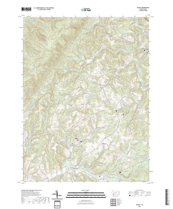
2023 Map of Wilpen
USGS Topo · Published 2023About this map
Wilpen and the surrounding Ligonier Valley appear here in a landscape defined by deep ridges and hollows, such as Death Valley and Bear Cave Hollow. The map reveals a dense network of local history through its many burial grounds, including the West Fairfield Methodist Episcopal Cem and the Saint John the Baptist Orthodox Church Cem. These features, alongside the Fort Palmer Cem and Saint Ann Cem, point to the region's diverse congregational roots and early settlement patterns.
Find a feature on this map
104 named features on this map. Tap any name to fly to it.
Don’t see what you’re looking for? This feature index may not catch every label — zoom into the map to look around manually.
Map Details
Editions of this 2023 Wilpen Map
This is the sole edition of this map. No revisions or reprints were ever made.
Other maps of this area

1900 · Latrobe
USGS Topo · 1:62,500

1902 · Latrobe
USGS Topo · 1:62,500

1903 · Latrobe
USGS Topo · 1:62,500

1913 · Somerset
USGS Topo · 1:62,500

1915 · Somerset
USGS Topo · 1:62,500

1920 · New Florence
USGS Topo · 1:62,500

1921 · New Florence
USGS Topo · 1:48,000

1922 · Donegal
USGS Topo · 1:62,500

1922 · New Florence
USGS Topo · 1:62,500

1935 · Donegal
USGS Topo · 1:62,500
Featured Places
- Hillsview, Ligonier Township
- Fairfield Township, PA
- West Wheatfield Township, PA
- Derry Township, PA
- West Fairfield, Fairfield Township