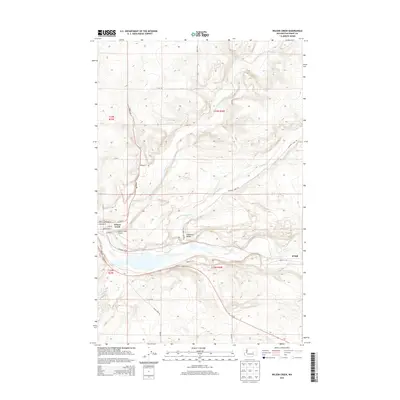
2014 Map of Wilson Creek
USGS Topo · Published 2014About this map
Wilson Creek serves as the primary hub of this landscape, situated at the confluence of the Wilson Cr and Crab Cr drainages. The settlement of Krupp lies further east along the Crab Cr corridor, reflecting the historical importance of these watercourses for transit and agriculture in the region. The map reveals a transition from the lower Canniwa i Valley to the higher, undulating terrain of the Columbia Plateau, marked by numerous county roads like Road R NE and Black Rock Rd. For those interested in local aviation and transit history, the Wilson Creek Airport is clearly identified near the town center. To the southwest, Soda Lake marks a distinct hydrological feature within the Coulee system, while the township and range lines of t23n r29e and t23n r30e provide the structural framework for this rural Washington survey.
Find a feature on this map
31 named features on this map. Tap any name to fly to it.
Don’t see what you’re looking for? This feature index may not catch every label — zoom into the map to look around manually.
Map Details
Editions of this 2014 Wilson Creek Map
This is the sole edition of this map. No revisions or reprints were ever made.
Other maps of this area

1953 · Ritzville
USGS Topo · 1:250,000

1956 · Wilson Creek SW
USGS Topo · 1:24,000

1956 · Wilson Creek SE
USGS Topo · 1:24,000

1956 · Wilson Creek NW
USGS Topo · 1:24,000

1956 · Wilson Creek
USGS Topo · 1:62,500

1959 · Ritzville
USGS Topo · 1:250,000

1965 · Ritzville
USGS Topo · 1:250,000

1968 · Marlin SW
USGS Topo · 1:24,000

1968 · Hartline SW
USGS Topo · 1:24,000

1968 · Marlin
USGS Topo · 1:24,000