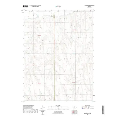
2017 Map of Wilsonville NW
USGS Topo · Published 2017About this map
Tyrone Cem sits in the southwestern reaches of this Nebraska landscape, a small burial ground grounded in the agricultural heritage of the high plains. The terrain is defined by the winding course of Silver Cr and the deep incisions of Bogus Canyon, illustrating the drainage patterns that characterize this part of the state. Human adaptation to the environment is evident through the Bartley Canal and the presence of Kleckner Reservoir, both essential for managing water in a region where every stream, including Johnson Cr, plays a role in the local economy. The map reveals a precise grid of rural roads, such as RD 719 and RD 911, which partition the land along the border of Red Willow Co and Furnas Co.
Find a feature on this map
27 named features on this map. Tap any name to fly to it.
Don’t see what you’re looking for? This feature index may not catch every label — zoom into the map to look around manually.
Map Details
Editions of this 2017 Wilsonville NW Map
This is the sole edition of this map. No revisions or reprints were ever made.
Other maps of this area

1954 · McCook
USGS Topo · 1:250,000

1956 · Cambridge
USGS Topo · 1:24,000

1956 · Bartley
USGS Topo · 1:24,000

1957 · McCook
USGS Topo · 1:250,000

1957 · Shippee
USGS Topo · 1:24,000
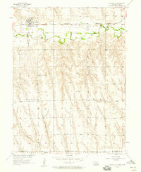
1957 · Wilsonville
USGS Topo · 1:24,000

1957 · Lebanon
USGS Topo · 1:24,000

1957 · Danbury NE
USGS Topo · 1:24,000

1958 · McCook
USGS Topo · 1:250,000

1958 · Danbury NE
USGS Topo · 1:24,000