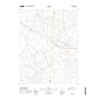
2019 Map of Winchester
USGS Topo · Published 2019About this map
Winchester stands as the primary hub in this corner of the Ohio countryside, where the borders of Brown and Adams counties meet. The landscape is defined by the winding paths of W Fork Ohio Brush Cr and Cherry Fork, which carve through the terrain and influence the local road network. Smaller settlements like Fincastle, Macon, and Emerald appear along the regional corridors of Us Rte 62 and Tri Co HWY. This 2019 survey reveals a strong genealogical record, preserved through numerous family-named and community burial grounds such as Wilson Cem, Horner Cem, and Rickey Cem. The topographical detail highlights prominent features like Carson Hill and the recreational waters of Winchester Lake, illustrating the rural character and land-use patterns of the area.
Find a feature on this map
83 named features on this map. Tap any name to fly to it.
Don’t see what you’re looking for? This feature index may not catch every label — zoom into the map to look around manually.
Map Details
Editions of this 2019 Winchester Map
This is the sole edition of this map. No revisions or reprints were ever made.
Other maps of this area

1917 · Hillsboro
USGS Topo · 1:62,500

1917 · Sardinia
USGS Topo · 1:62,500

1918 · Seaman
USGS Topo · 1:62,500

1928 · Higginsport
USGS Topo · 1:48,000

1931 · Higginsport
USGS Topo · 1:62,500

1944 · Hillsboro
USGS Topo · 1:62,500

1944 · Sardinia
USGS Topo · 1:62,500

1947 · Columbus
USGS Topo · 1:250,000

1957 · Huntington
USGS Topo · 1:250,000

1960 · Huntington
USGS Topo · 1:250,000