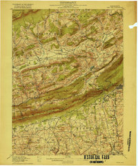
1916 Map of Wind Gap
USGS Topo · Published 1916About this map
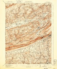
Blue Mountain dominates the landscape, creating a massive natural barrier punctuated by the geological notch of Wind Gap. This survey captures the rural character of the region just before the First World War, where early transportation networks like the Lehigh and New England railroad serviced a series of small, scattered settlements. To the north, the terrain transitions into the Chestnut Hill and Pocono Mtn highlands, defined by winding waterways like Pohopoco Creek and Aquashicola Creek. The social and economic life of the area is visible through the high density of district schools, such as the Bartietz School and Bushkirk School, alongside local industrial sites like Haynes Mill. Many of these names, including Ross Common and Brodheadsville, reflect the long-standing family lineages that shaped the development of Monroe and Northampton counties.
Find a feature on this map
119 named features on this map. Tap any name to fly to it.
Don’t see what you’re looking for? This feature index may not catch every label — zoom into the map to look around manually.
Map Details
Editions of this 1916 Wind Gap Map
7 editions found
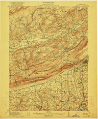
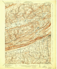
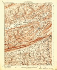
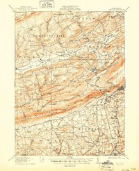
Other maps of this area

1890 · Easton
USGS Topo · 1:62,500

1891 · Easton
USGS Topo · 1:62,500

1891 · Delaware Water Gap
USGS Topo · 1:62,500

1893 · Delaware Water Gap
USGS Topo · 1:62,500

1894 · Allentown
USGS Topo · 1:62,500

1902 · Slatington
USGS Topo · 1:62,500

1914 · Wind Gap
USGS Topo · 1:62,500

1916 · Wind Gap
USGS Topo · 1:62,500

1919 · Pocono
USGS Topo · 1:62,500

1921 · Pocono
USGS Topo · 1:62,500