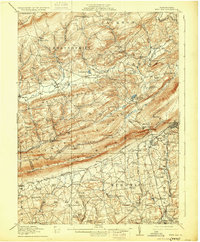
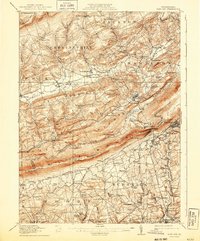
1916 Map of Wind Gap
USGS Topo · Published 1929About this map
Blue Mountain serves as a dominant physical barrier across this part of Monroe and Northampton counties, punctuated only by the notable geological pass at Wind Gap. This gateway provides a transit corridor for the Lehigh and New England railroad, connecting the slate industry of Pen Argyl and West Pen Argyl to the north. The landscape is defined by its ridge-and-valley structure, with Chestnut Ridge and Weir Mountain running parallel to the south, creating narrow corridors for agricultural settlements like Kunkletown and Brodheadsville.
Find a feature on this map
113 named features on this map. Tap any name to fly to it.
Don’t see what you’re looking for? This feature index may not catch every label — zoom into the map to look around manually.
Map Details
Editions of this 1916 Wind Gap Map
7 editions found
Other maps of this area

1890 · Easton
USGS Topo · 1:62,500

1891 · Easton
USGS Topo · 1:62,500

1891 · Delaware Water Gap
USGS Topo · 1:62,500

1893 · Delaware Water Gap
USGS Topo · 1:62,500

1894 · Allentown
USGS Topo · 1:62,500

1902 · Slatington
USGS Topo · 1:62,500

1914 · Wind Gap
USGS Topo · 1:62,500

1916 · Wind Gap
USGS Topo · 1:62,500

1919 · Pocono
USGS Topo · 1:62,500

1921 · Pocono
USGS Topo · 1:62,500