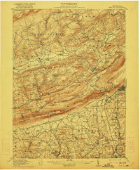
1916 Map of Wind Gap
USGS Topo · Published 1922About this map
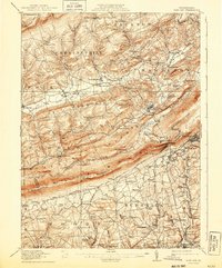
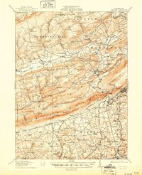
Blue Mountain forms a formidable physical barrier across this landscape, pierced only by significant geologic notches like Wind Gap and Smith Gap. The era's transportation network is defined by the heavy rail influence of the Lehigh and New England and the Delaware Lackawanna and Western railroads, which serviced the industrial operations at Pen Argyl and the slate production at Chapman Quarries.
Find a feature on this map
125 named features on this map. Tap any name to fly to it.
Don’t see what you’re looking for? This feature index may not catch every label — zoom into the map to look around manually.
Map Details
Editions of this 1916 Wind Gap Map
7 editions found
Other maps of this area

1890 · Easton
USGS Topo · 1:62,500

1891 · Easton
USGS Topo · 1:62,500

1891 · Delaware Water Gap
USGS Topo · 1:62,500

1893 · Delaware Water Gap
USGS Topo · 1:62,500

1894 · Allentown
USGS Topo · 1:62,500

1902 · Slatington
USGS Topo · 1:62,500

1914 · Wind Gap
USGS Topo · 1:62,500

1916 · Wind Gap
USGS Topo · 1:62,500

1919 · Pocono
USGS Topo · 1:62,500

1921 · Pocono
USGS Topo · 1:62,500