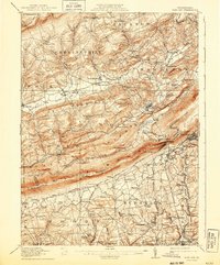
1916 Map of Wind Gap
USGS Topo · Published 1943About this map
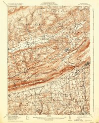
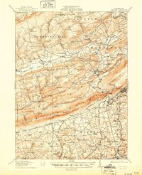
Blue Mountain forms a striking diagonal spine across this landscape, dividing the northern highlands of Chestnut Hill and Weir Mountain from the developed townships of Bushkill and Moore to the south. The natural geological break at Wind Gap serves as a critical junction for the Lackawanna and Western RR and the Lehigh and New England RR, which navigate the terrain to reach industrial centers like Pen Argyl. This 1914 survey captures a moment when local economies were defined by water-powered industry and extraction, evidenced by Sours Mills on the Bushkill Creek and the extensive Chapman Quarries. Numerous small rural schools, including the Michael Valley School and Christmans School, are distributed across the valleys, reflecting the decentralized social structure of these Pennsylvania Dutch communities before mid-century consolidation.
Find a feature on this map
118 named features on this map. Tap any name to fly to it.
Don’t see what you’re looking for? This feature index may not catch every label — zoom into the map to look around manually.
Map Details
Editions of this 1916 Wind Gap Map
7 editions found
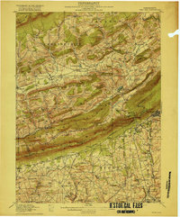
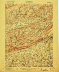
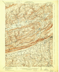
Other maps of this area

1890 · Easton
USGS Topo · 1:62,500

1891 · Easton
USGS Topo · 1:62,500

1891 · Delaware Water Gap
USGS Topo · 1:62,500

1893 · Delaware Water Gap
USGS Topo · 1:62,500

1894 · Allentown
USGS Topo · 1:62,500

1902 · Slatington
USGS Topo · 1:62,500

1914 · Wind Gap
USGS Topo · 1:62,500

1916 · Wind Gap
USGS Topo · 1:62,500

1919 · Pocono
USGS Topo · 1:62,500

1921 · Pocono
USGS Topo · 1:62,500