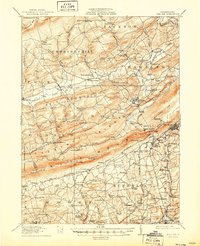
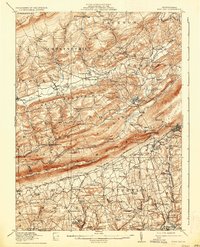
1916 Map of Wind Gap
USGS Topo · Published 1950About this map
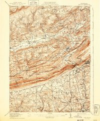
Blue Mountain serves as the dominant topographic spine of this region, separating the ridge-and-valley landscape of Monroe and Northampton counties during the early twentieth century. The map illustrates a dense network of early industry and local infrastructure, particularly the concentration of slate and mineral extraction near Chapman Quarries and Siegfried. The rail-dependent economy of the era is evident through the complex junctions of the Lehigh and New England RR and the Lackawanna RR, which served the small communities of Saylorsburg and Wind Gap.
Find a feature on this map
229 named features on this map. Tap any name to fly to it.
Don’t see what you’re looking for? This feature index may not catch every label — zoom into the map to look around manually.
Map Details
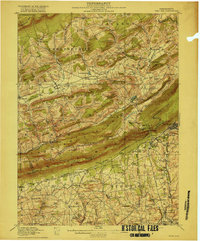
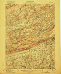
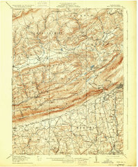
Editions of this 1916 Wind Gap Map
7 editions found
Other maps of this area

1890 · Easton
USGS Topo · 1:62,500

1891 · Easton
USGS Topo · 1:62,500

1891 · Delaware Water Gap
USGS Topo · 1:62,500

1893 · Delaware Water Gap
USGS Topo · 1:62,500

1894 · Allentown
USGS Topo · 1:62,500

1902 · Slatington
USGS Topo · 1:62,500

1914 · Wind Gap
USGS Topo · 1:62,500

1916 · Wind Gap
USGS Topo · 1:62,500

1919 · Pocono
USGS Topo · 1:62,500

1921 · Pocono
USGS Topo · 1:62,500