
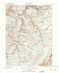
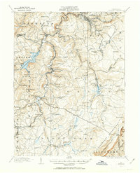
1914 Map of Windber
USGS Topo · Published 1955About this map
Windber and the coal-rich highlands of Shade and Paint townships dominate this landscape at the edge of the Allegheny Mountains. The industrial pulse of the region is evident in the dense rail networks of the Pennsylvania RR and the Baltimore and Ohio RR, which serve the mining settlements of Jerome and Hooversville. The massive Quemahoning Reservoir sits as a primary water source for the region's steel-producing neighbors, while smaller industrial landmarks like the Old Shade Furnace and a Shot Factory near Grand View point to a legacy of iron and munitions production.
Find a feature on this map
114 named features on this map. Tap any name to fly to it.
Don’t see what you’re looking for? This feature index may not catch every label — zoom into the map to look around manually.
Map Details
Editions of this 1914 Windber Map
Other maps of this area

1902 · Ebensburg
USGS Topo · 1:62,500

1904 · Ebensburg
USGS Topo · 1:62,500

1904 · Johnstown
USGS Topo · 1:62,500

1907 · Johnstown
USGS Topo · 1:62,500

1908 · Bedford
USGS Topo · 1:62,500

1910 · Bedford
USGS Topo · 1:62,500

1913 · Somerset
USGS Topo · 1:62,500

1915 · Somerset
USGS Topo · 1:62,500

1916 · Windber
USGS Topo · 1:62,500

1920 · New Florence
USGS Topo · 1:62,500