
1916 Map of Windber
USGS Topo · Published 1923About this map
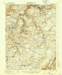
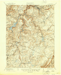
Windber and its surrounding coal-rich terrain anchor this detailed topographic survey, which captures the industrial landscape of Somerset and Cambria counties during a period of significant extraction. The northern region is dominated by mining operations like Number 38 and Number 36, while the massive Quemahoning Reservoir sits prominently in the west, fed by Quemahoning Creek. The network of the Pennsylvania RR and Baltimore and Ohio RR facilitates the movement of resources through settlements such as Hooversville and Friedens.
Find a feature on this map
118 named features on this map. Tap any name to fly to it.
Don’t see what you’re looking for? This feature index may not catch every label — zoom into the map to look around manually.
Map Details
Editions of this 1916 Windber Map
4 editions found
Other maps of this area

1902 · Ebensburg
USGS Topo · 1:62,500

1904 · Ebensburg
USGS Topo · 1:62,500

1904 · Johnstown
USGS Topo · 1:62,500

1907 · Johnstown
USGS Topo · 1:62,500

1908 · Bedford
USGS Topo · 1:62,500

1910 · Bedford
USGS Topo · 1:62,500

1913 · Somerset
USGS Topo · 1:62,500

1914 · Windber
USGS Topo · 1:62,500

1915 · Somerset
USGS Topo · 1:62,500

1916 · Windber
USGS Topo · 1:62,500