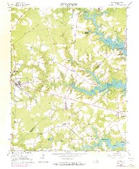
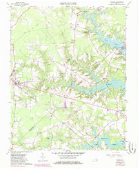
1965 Map of Windsor
USGS Topo · Published 1973About this map
The Norfolk and Western railway corridor defines the central development of this Tidewater landscape, anchoring the town of Windsor and connecting it to outlying settlements like Indika and Myrtle. In the mid-1960s, this region of Virginia was characterized by a transition from heavy agricultural use to increasingly controlled water resources, visible in the extensive lake and reservoir systems. Major water bodies like Burnt Mills Lake, Prince Lake, and Lake Cohoon dominate the eastern and southern portions of the map, fed by sprawling wetlands such as Great Swamp and Eley Swamp. For local historians, the map preserves the locations of vital community centers, including Woodland Ch, Providence Church, and schools like Tyler High Sch. The presence of an Old Railroad Grade and numerous millponds, including Branch and Joyner Millpond, suggests an earlier era of timber and milling that shaped the county's early industrial geography.
Find a feature on this map
44 named features on this map. Tap any name to fly to it.
Don’t see what you’re looking for? This feature index may not catch every label — zoom into the map to look around manually.
Map Details
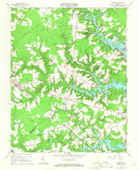
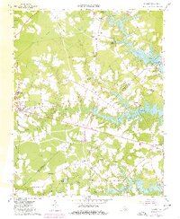
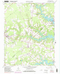
Editions of this 1965 Windsor Map
5 editions found
Other maps of this area

1919 · Smithfield
USGS Topo · 1:62,500

1919 · Suffolk
USGS Topo · 1:62,500

1920 · Holland
USGS Topo · 1:62,500

1920 · Ivor
USGS Topo · 1:62,500

1943 · Holland
USGS Topo · 1:62,500

1944 · Windsor
USGS Topo · 1:31,680

1944 · Smithfield
USGS Topo · 1:24,000

1944 · Raynor
USGS Topo · 1:24,000

1944 · Zuni
USGS Topo · 1:24,000

1945 · Zuni
USGS Topo · 1:31,680