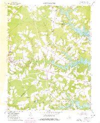
1965 Map of Windsor
USGS Topo · Published 1980About this map
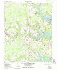
Windsor serves as a central hub on this Virginia landscape, where the Norfolk and Western railway and major pipelines intersect an environment defined by expansive reservoirs and wetlands. The eastern portion of the map is dominated by a chain of water bodies, including Burnt Mills Lake, Prince Lake, and Lake Cohoon, illustrating the region's mid-century water management infrastructure. Rural life is anchored by dispersed settlements like Kings Fork, Myrtle, and Indika, alongside various country churches such as Providence Church and Holly Grove Ch. Evidence of local aviation and industry appears through the Garner Airport and scattered extraction sites like the Sandpit and Gravel Pit. Notable for genealogists are the family and community landmarks, from Mt Zion Cem to the Tyler High Sch, which provide a detailed look at the social geography of Isle of Wight County and Suffolk City during the 1960s and into the 1980s.
Find a feature on this map
46 named features on this map. Tap any name to fly to it.
Don’t see what you’re looking for? This feature index may not catch every label — zoom into the map to look around manually.
Map Details
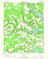
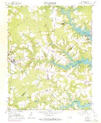
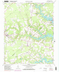
Editions of this 1965 Windsor Map
5 editions found
Other maps of this area

1919 · Smithfield
USGS Topo · 1:62,500

1919 · Suffolk
USGS Topo · 1:62,500

1920 · Holland
USGS Topo · 1:62,500

1920 · Ivor
USGS Topo · 1:62,500

1943 · Holland
USGS Topo · 1:62,500

1944 · Windsor
USGS Topo · 1:31,680

1944 · Smithfield
USGS Topo · 1:24,000

1944 · Raynor
USGS Topo · 1:24,000

1944 · Zuni
USGS Topo · 1:24,000

1945 · Zuni
USGS Topo · 1:31,680