Loading...
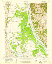
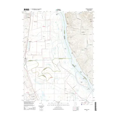
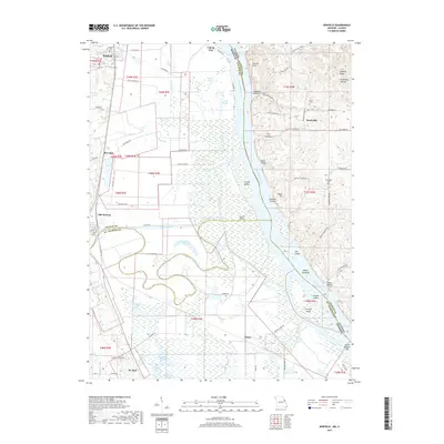
Loading map...1954 Map of Winfield
USGS Topo · Published 1959About this map
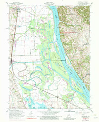
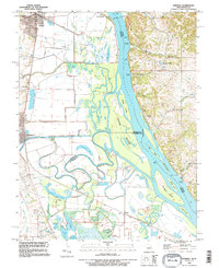
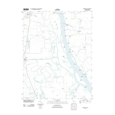
The Mississippi River and the meandering Cuivre River dominate this 1950s landscape, defining the border between Illinois and Missouri. The confluence area is a complex network of backwaters and sloughs, including Argent Slough and Cuivre Slough, which frame large river islands like Cuivre Island and Peruque Island. Settlement is concentrated along the Chicago Burlington and Quincy railroad line, where the communities of Winfield, Brevator, and Old Monroe are established on the higher ground west of the floodplains.
Find a feature on this map
59 named features on this map. Tap any name to fly to it.
Don’t see what you’re looking for? This feature index may not catch every label — zoom into the map to look around manually.
Map Details
Date Portrayed1954
Date Published1959
PublisherU.S. Geological Survey
Map TypeTopographic
Scale1:24,000
Physical Dimensions22 x 26.9 inches
Editions of this 1954 Winfield Map

Historical Maps of Saint Paul Through Time
6 maps found

Featured Locations
Source Details
SourceU.S. Geological Survey
CopyrightPublic Domain