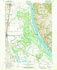
1954 Map of Winfield
USGS Topo · Published 1969About this map
The Mississippi River and the meandering Cuivre River define the intricate hydrology of this riverine landscape, where the border of Missouri and Illinois meets amidst a network of sloughs, islands, and backwater lakes. Significant 1968 photorevisions highlight the dynamic nature of this floodplain, documenting changes along the Chicago Burlington and Quincy railroad line and around the settlements of Winfield and Old Monroe. The terrain shifts from the low-lying Cuivre Island and Turkey Island to the dramatic bluffs of Cap au Gris and the high ground near Beechville. This area supported a river-reliant economy, evidenced by numerous river access points such as Sunset Landing, Dogtown Landing, and the West Point Ferry. Local history is captured through landmarks like the Minesinger Cem and Nichols Sch, alongside features like The Cave In and the Fish Hatchery near the Winfield levee.
Find a feature on this map
61 named features on this map. Tap any name to fly to it.
Don’t see what you’re looking for? This feature index may not catch every label — zoom into the map to look around manually.
Map Details
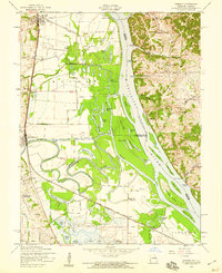
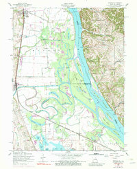
Editions of this 1954 Winfield Map
Other maps of this area

1903 · O'Fallon
USGS Topo · 1:125,000

1930 · Hardin
USGS Topo · 1:62,500

1931 · Brussels
USGS Topo · 1:62,500

1934 · Elsberry
USGS Topo · 1:48,000

1934 · Hardin
USGS Topo · 1:62,500

1938 · Hardin
USGS Topo · 1:62,500

1939 · Brussels
USGS Topo · 1:62,500

1941 · Troy
USGS Topo · 1:62,500

1942 · Elsberry
USGS Topo · 1:62,500

1943 · Brussels
USGS Topo · 1:62,500