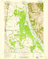
1954 Map of Winfield
USGS Topo · Published 1959About this map
The Mississippi River and the meandering Cuivre River dominate this 1950s landscape, defining the border between Illinois and Missouri. The confluence area is a complex network of backwaters and sloughs, including Argent Slough and Cuivre Slough, which frame large river islands like Cuivre Island and Peruque Island. Settlement is concentrated along the Chicago Burlington and Quincy railroad line, where the communities of Winfield, Brevator, and Old Monroe are established on the higher ground west of the floodplains.
Find a feature on this map
59 named features on this map. Tap any name to fly to it.
Don’t see what you’re looking for? This feature index may not catch every label — zoom into the map to look around manually.
Map Details
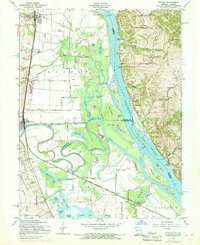
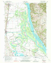
Editions of this 1954 Winfield Map
Other maps of this area

1903 · O'Fallon
USGS Topo · 1:125,000
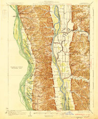
1930 · Hardin
USGS Topo · 1:62,500
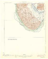
1931 · Brussels
USGS Topo · 1:62,500
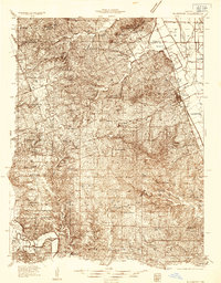
1934 · Elsberry
USGS Topo · 1:48,000
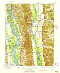
1934 · Hardin
USGS Topo · 1:62,500
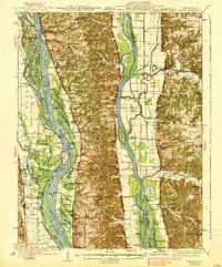
1938 · Hardin
USGS Topo · 1:62,500
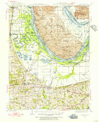
1939 · Brussels
USGS Topo · 1:62,500
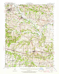
1941 · Troy
USGS Topo · 1:62,500
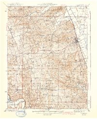
1942 · Elsberry
USGS Topo · 1:62,500
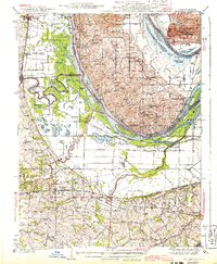
1943 · Brussels
USGS Topo · 1:62,500