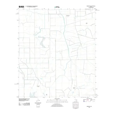
2010 Map of Winnie NW
USGS Topo · Published 2010About this map
The coastal wetlands and irrigation networks of Jefferson County define this landscape, where the Spindletop Bayou and North Fork Taylor Bayou wind through low-lying terrain. The map documents a complex hydraulic system vital to local agriculture, dominated by the Lower Neches Valley Authority Canal and the Nolte Canal. These man-made waterways segment the territory alongside family-named roads like Ebner Rd and George Bauer Rd. Historically significant landforms rise from the marshes, including Double Gum Island, Oak Island, and Little Pine Island, which serve as distinct markers in an otherwise level prairie. Aviation history is noted by the presence of the Sonny Broussard Landing Strip, situated in the northern reaches of the quadrangle near Turkey Island. This 2010 survey reflects a period of modern rural infrastructure, showing the intersection of natural bayou drainage and intensive water management for the surrounding coastal plains.
Find a feature on this map
27 named features on this map. Tap any name to fly to it.
Don’t see what you’re looking for? This feature index may not catch every label — zoom into the map to look around manually.
Map Details
Editions of this 2010 Winnie NW Map
This is the sole edition of this map. No revisions or reprints were ever made.
Other maps of this area

1943 · Whites Bayou
USGS Topo · 1:24,000

1943 · Liberty
USGS Topo · 1:125,000

1943 · Stowell
USGS Topo · 1:24,000

1945 · Nolte
USGS Topo · 1:31,680

1950 · Houston
USGS Topo · 1:250,000

1954 · Beaumont
USGS Topo · 1:250,000

1955 · Daisetta
USGS Topo · 1:62,500

1955 · Sour Lake
USGS Topo · 1:62,500

1956 · Houston
USGS Topo · 1:250,000

1957 · Beaumont
USGS Topo · 1:250,000