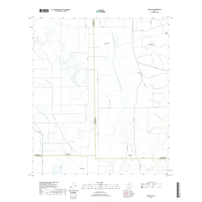
2019 Map of Winnie NW
USGS Topo · Published 2019About this map
Willis Marsh and Spindletop Bayou dominate the low-lying coastal prairie landscape at the intersection of Liberty, Jefferson, and Chambers counties. This modern survey illustrates a highly managed water system, where natural features like Pignut Gully and Vogel Gully are integrated with significant infrastructure projects. The Lower Neches Valley Authority Canal and the Nolte Canal cut through the terrain, essential for local agriculture and industrial water management.
Find a feature on this map
35 named features on this map. Tap any name to fly to it.
Don’t see what you’re looking for? This feature index may not catch every label — zoom into the map to look around manually.
Map Details
Editions of this 2019 Winnie NW Map
This is the sole edition of this map. No revisions or reprints were ever made.
Other maps of this area

1943 · Whites Bayou
USGS Topo · 1:24,000

1943 · Liberty
USGS Topo · 1:125,000

1943 · Stowell
USGS Topo · 1:24,000

1945 · Nolte
USGS Topo · 1:31,680

1950 · Houston
USGS Topo · 1:250,000

1954 · Beaumont
USGS Topo · 1:250,000

1955 · Daisetta
USGS Topo · 1:62,500

1955 · Sour Lake
USGS Topo · 1:62,500

1956 · Houston
USGS Topo · 1:250,000

1957 · Beaumont
USGS Topo · 1:250,000