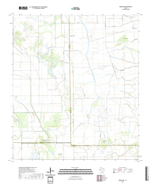
2022 Map of Winnie NW
USGS Topo · Published 2022About this map
The coastal marshlands and intricate drainage systems of Southeast Texas are captured in this recent survey, showcasing a landscape defined by the intersection of natural bayous and industrial water management. Willis Marsh and Spindletop Bayou dominate the western portion of the map, while the expansive Lower Neches Valley Authority Canal cuts across the terrain, illustrating the region's complex water engineering. This area, where Liberty and Jefferson counties meet, is dotted with namesake "islands"—slightly elevated ground within the wetlands—such as Turkey Island, Pignut Island, and Double Gum Island. The map provides a contemporary record of rural infrastructure, including Nolte Canal and the branching reaches of North Fork Taylor Bayou. These labels preserve local geographical identifiers used by generations of land managers and residents in this hydrologically significant corner of the state.
Find a feature on this map
36 named features on this map. Tap any name to fly to it.
Don’t see what you’re looking for? This feature index may not catch every label — zoom into the map to look around manually.
Map Details
Editions of this 2022 Winnie NW Map
This is the sole edition of this map. No revisions or reprints were ever made.
Other maps of this area

1943 · Whites Bayou
USGS Topo · 1:24,000

1943 · Liberty
USGS Topo · 1:125,000

1943 · Stowell
USGS Topo · 1:24,000

1945 · Nolte
USGS Topo · 1:31,680

1950 · Houston
USGS Topo · 1:250,000

1954 · Beaumont
USGS Topo · 1:250,000

1955 · Daisetta
USGS Topo · 1:62,500

1955 · Sour Lake
USGS Topo · 1:62,500

1956 · Houston
USGS Topo · 1:250,000

1957 · Beaumont
USGS Topo · 1:250,000