
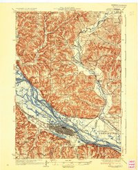
1937 Map of Winona
USGS Topo · Published 1937About this map
Winona dominates the riverfront in the 1930s, serving as a dense urban center surrounded by the winding channels of the Mississippi River. The landscape is defined by the sharp contrast between the broad river valley and the steep bluffs of the Driftless Area, including the prominent Sugarloaf and Soldiers Cap. This survey captures the intricate water system of the era, where Straight Slough, Crooked Slough, and Indian Slough weave through numerous numbered islands before the full impact of modern river management.
Find a feature on this map
113 named features on this map. Tap any name to fly to it.
Don’t see what you’re looking for? This feature index may not catch every label — zoom into the map to look around manually.
Map Details
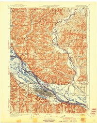
Editions of this 1937 Winona Map
3 editions found
Other maps of this area

1926 · Whitehall
USGS Topo · 1:62,500

1929 · Whitehall
USGS Topo · 1:62,500

1929 · Fountain City
USGS Topo · 1:62,500

1929 · Galesville
USGS Topo · 1:62,500

1930 · La Crescent
USGS Topo · 1:62,500

1932 · Cochrane
USGS Topo · 1:62,500

1932 · Gilmanton
USGS Topo · 1:62,500

1932 · Alma
USGS Topo · 1:62,500

1934 · Winona
USGS Topo · 1:62,500

1934 · Cochrane
USGS Topo · 1:62,500